Fifteen National Trail sections from Chipping Campden to Bath - tap a stage for distance, ascent and descent, and the full route description.
The Cotswold Way is a 102 mile (164 km) National Trail between Chipping Campden and Bath. The sections below follow the official route description on National Trails - typically walked over multiple days, combining sections to match your pace and overnight stops.
For how the route fits together overall, see the route overview. For practical transport, accommodation, and preparation guidance, see Useful information.
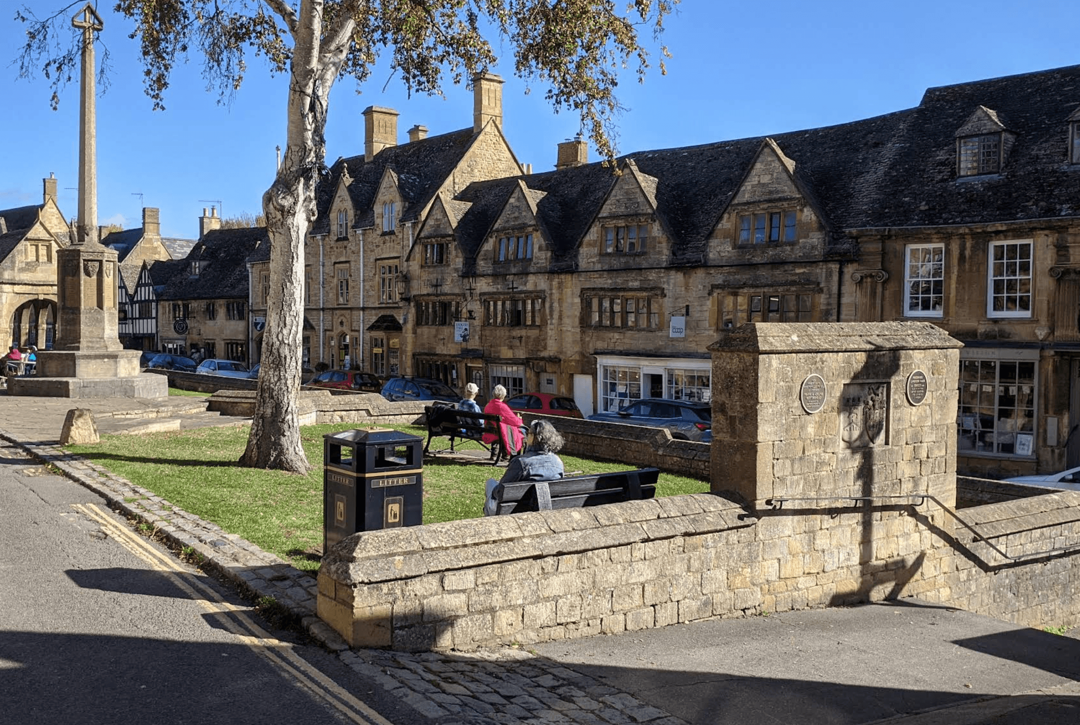
Historic Campden to Broadway via Dover's Hill, escarpment views, and Broadway Tower.
View stage
Broadway to Wood Stanway over high tracks, Stanton, and the Stanway Estate.
View stage
A steep pull to the ridge, then Beckbury Camp, Hailes Abbey, and Winchcombe.
View stage
Winchcombe via Sudeley and Belas Knap, then down and up again to Cleeve Hill.
View stage
High-level walking from Cleeve Common to Dowdeswell via reserve, lanes, and woodland.
View stage
Dowdeswell to Leckhampton through Lineover Wood, Seven Springs, and open common.
View stage
Leckhampton to Birdlip via Crickley Hill viewpoints and Barrow Wake grassland.
View stage
Birdlip to Painswick through beech woods, Cooper's Hill, and Painswick Beacon.
View stage
Painswick to King's Stanley via Edge Common, Haresfield Beacon, and Standish Woods.
View stage
From King's Stanley through Pen Wood and Coaley Peak to Dursley.
View stage
Dursley to Wotton-under-Edge via Stinchcombe Hill, North Nibley, and Tyndale Monument.
View stage
Wotton-under-Edge to Hawkesbury Upton via Newark Park, Alderley, and Lower Kilcott.
View stage
Hawkesbury Upton to Tormarton via Horton Court, Horton Fort, and Dodington Park.
View stage
Tormarton to Cold Ashton past Dyrham Park, Dyrham village, and Dyrham Woods.
View stage
Final stage into Bath via Lower Hamswell, Lansdown, racecourse, Weston, and the Abbey.
View stage

