Maps, guidebooks, and apps
The trail is waymarked with the National Trails acorn in both directions, but you should still carry a reliable map and not rely on a phone alone. Combine paper mapping with a guidebook for narrative and checkpoints, and use an app to stay updated on the route and get the most out of your walk. Once you have chosen daily distances, see Stages for the official sections, and Useful Information for passports, luggage transfer, and tour companies.
Navigation apps
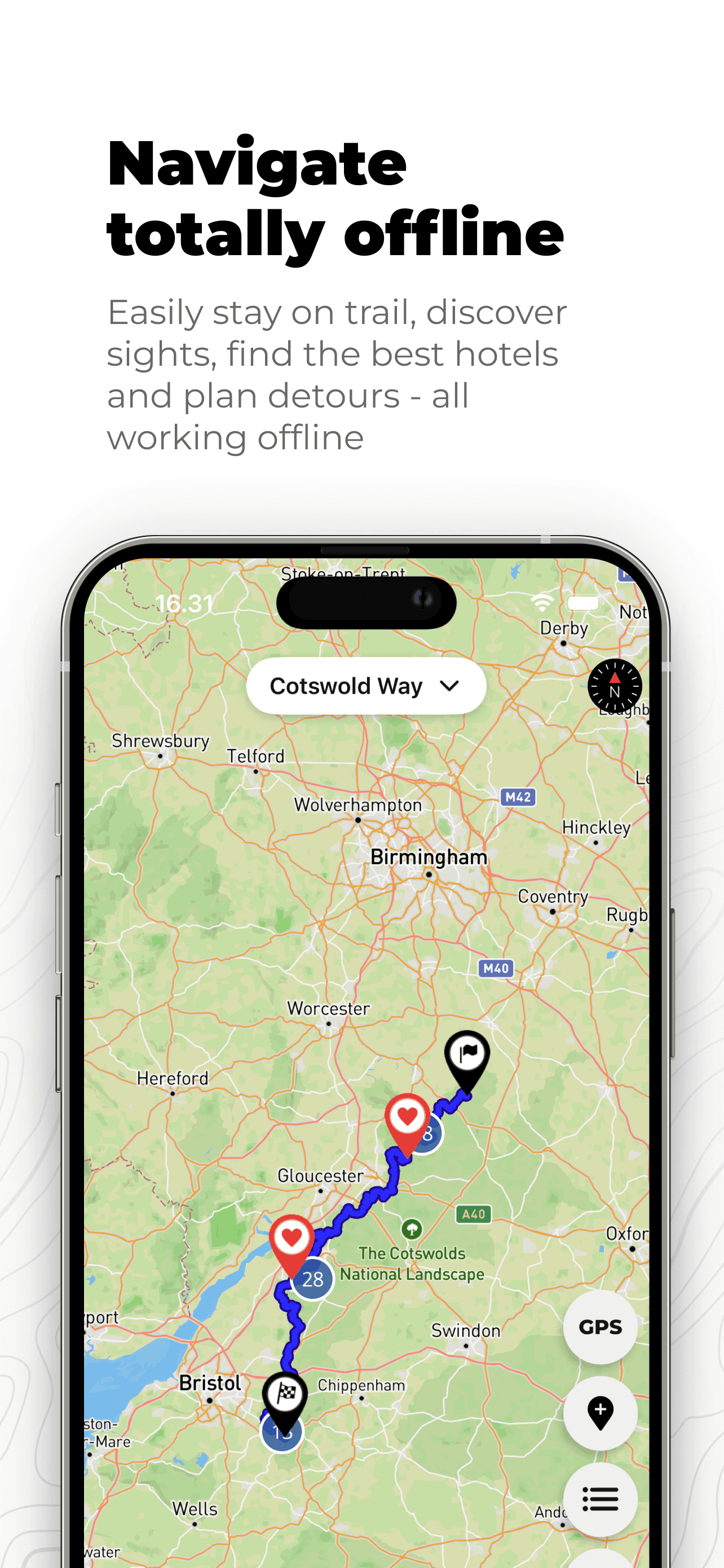
We recommend using an app on the trail to stay updated and get the most out of the Cotswold Way. The dedicated Cotswold Way app has become a community recommendation among walkers - for GPS tracking, offline maps, trail notes, and day-by-day planning.

Cotswold Way
★Community supportedFreeMore than a map: a trail planner and navigator built for this National Trail. Build your itinerary day by day, add personal notes to the map, and follow the route offline with GPS. Points of interest such as accommodation, food, and sights are included too. Free to download for iPhone and Android.
The app is shaped by walker contributions - tips, corrections, and local knowledge from people who know the trail. It is kept up to date as the route and facilities change, and it is built with a simple mission: to stay free, always, so anyone walking the Cotswold Way can rely on it without a subscription.

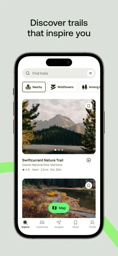
AllTrails
PremiumFreeA popular outdoor app with the Cotswold Way listed as a full route and as shorter sections. Use it to preview elevation, read recent trip reports, and follow the line on your phone. Offline maps usually need a paid plan - download before you leave Wi-Fi.

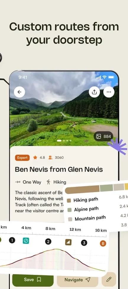
Komoot
PremiumFreeA route planner and navigator used by millions of outdoor enthusiasts. Komoot lists the Cotswold Way as a full hike with staged collections you can adapt into your own itinerary - useful for comparing daily distances, elevation, and surface types before you set off.
Turn-by-turn voice navigation, offline maps, and other trail features require a Komoot subscription. Community tips and photos still add useful local detail when you are comparing stages before you set off.
Paper maps and guidebooks
Carry a paper map at a scale you can read in wind and rain - typically OSExplorer (1:25 000) sheets covering your stages, or the dedicated National Trail mapping that ships with some guidebooks. A printed map shows escape routes, nearby settlements, and the wider landscape if waymarks are missing or ambiguous.
These guidebooks are widely used on the Cotswold Way. Buy from your usual bookseller, or follow the links below to find each title.
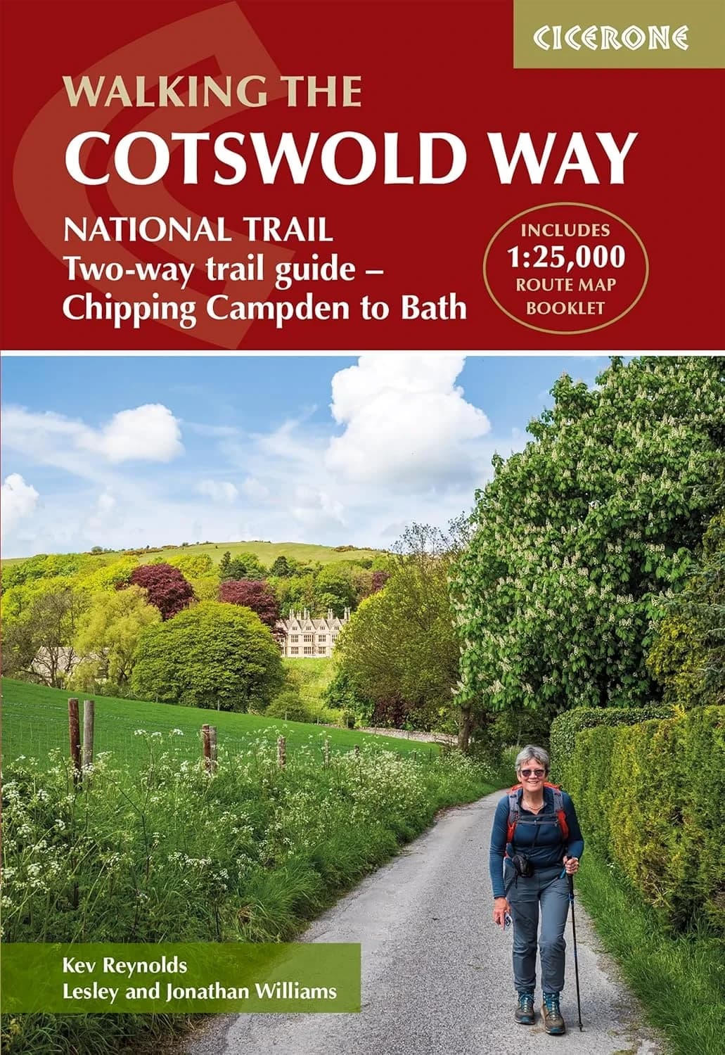
The Cotswold Way (Cicerone Press)
Kev Reynolds, Jonathan Williams & Lesley Williams
Cicerone Press, 2024
Divides the route into 14 manageable stages, with clear descriptions walking north to south and abbreviated directions for south to north. Includes a separate pocket-sized map booklet with detailed 1:25,000 Ordnance Survey mapping.
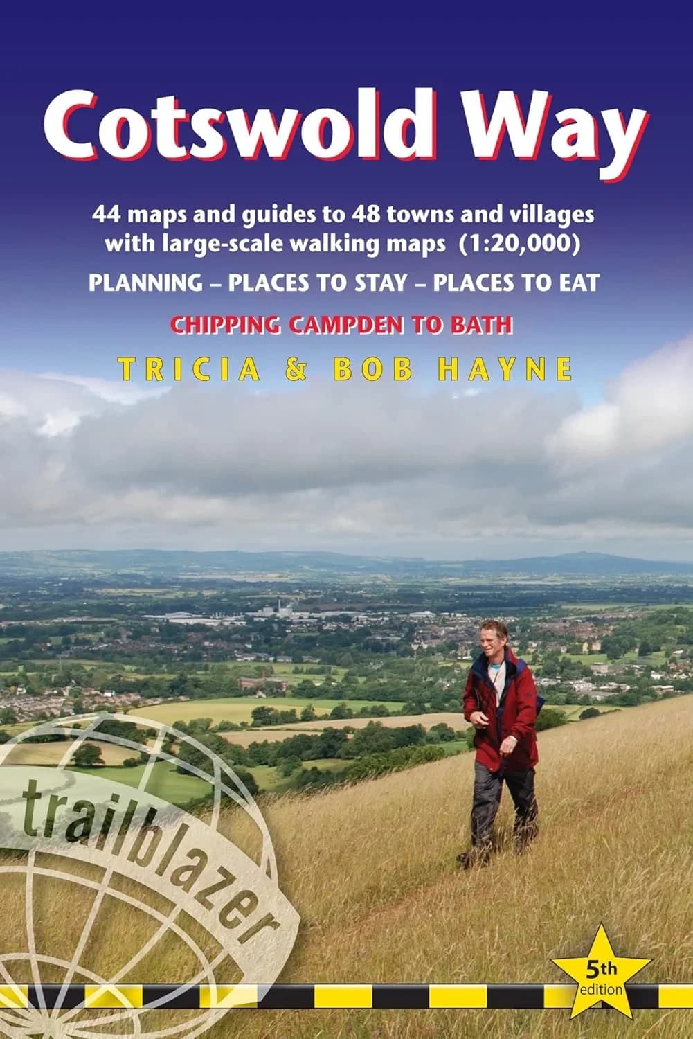
Find on AmazonThe Cotswold Way (Trailblazer)
Tricia & Bob Hayne
Trailblazer, 2024
A practical handbook for the full route from Chipping Campden to Bath, with re-walked directions, village facilities, and planning notes for walkers who want day-by-day detail in a compact format.
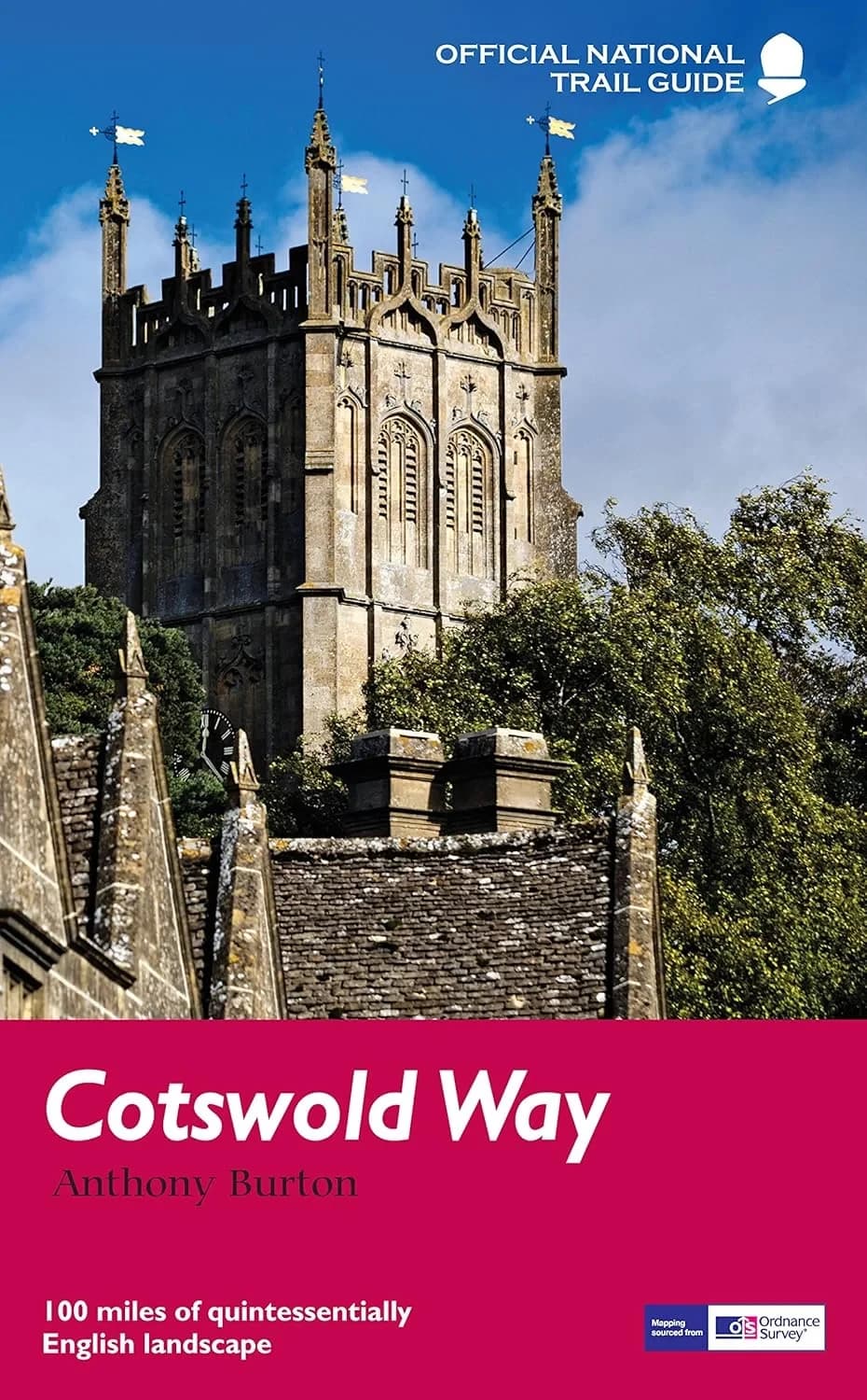
Find on AmazonThe Cotswold Way (National Trail Guides)
Anthony Burton
Aurum, 2016
The classic National Trail Guides treatment of the route, combining OS mapping extracts with landscape and heritage notes as you travel the escarpment from Chipping Campden to Bath.
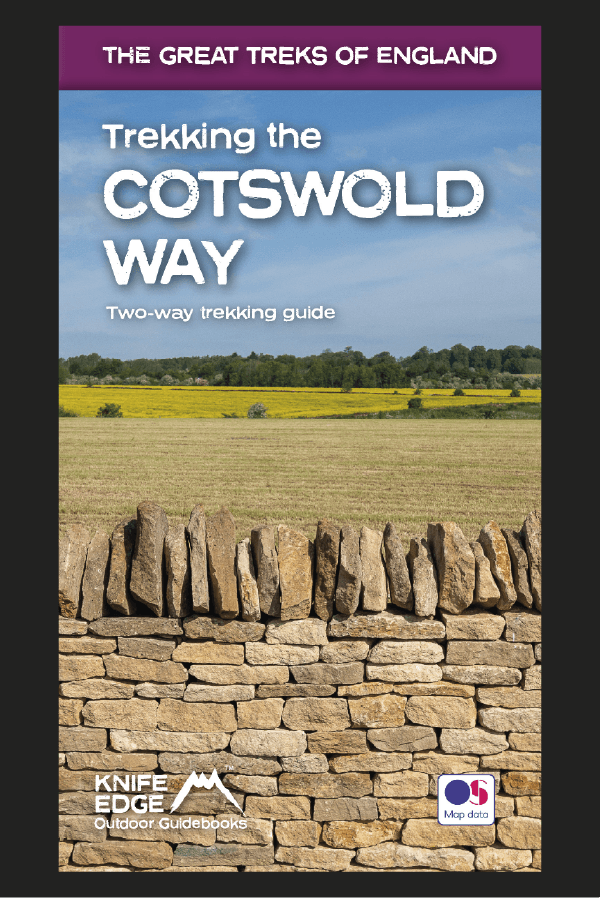
Find on AmazonTrekking the Cotswold Way
Knife Edge Outdoor Guidebooks
Knife Edge Outdoor
A two-way guide describing both southbound and northbound routes in full, with 1:25,000 Ordnance Survey mapping inside. Includes 18 suggested itineraries from 4 to 12 days, accommodation listings, camping notes, and numbered waypoints linking maps to the text.
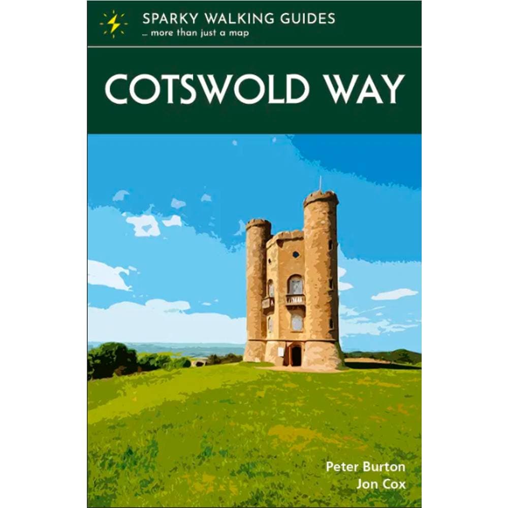
Buy from Knife Edge OutdoorCotswold Way (Sparky Walking Guides)
Sparky Walking Guides
The Trails Shop, 2024
A pocket-sized guide with 1:25,000 Ordnance Survey mapping on every page, plus local history, practical notes, accommodation ideas, and suggested stages. Slim enough to carry all day while keeping the trail and its stories close at hand.
Buy from The Trails Shop
Digital route file
For planning on a computer or importing into a GPS app, you can download the trail as GeoJSON.