
Getting to Chipping Campden
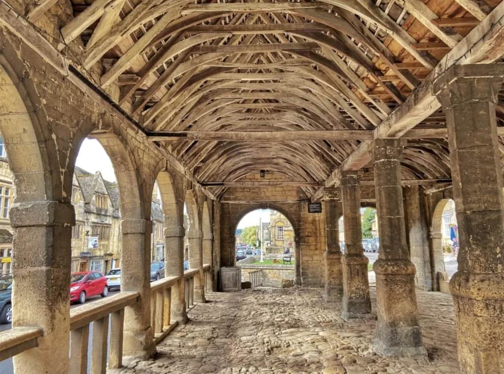
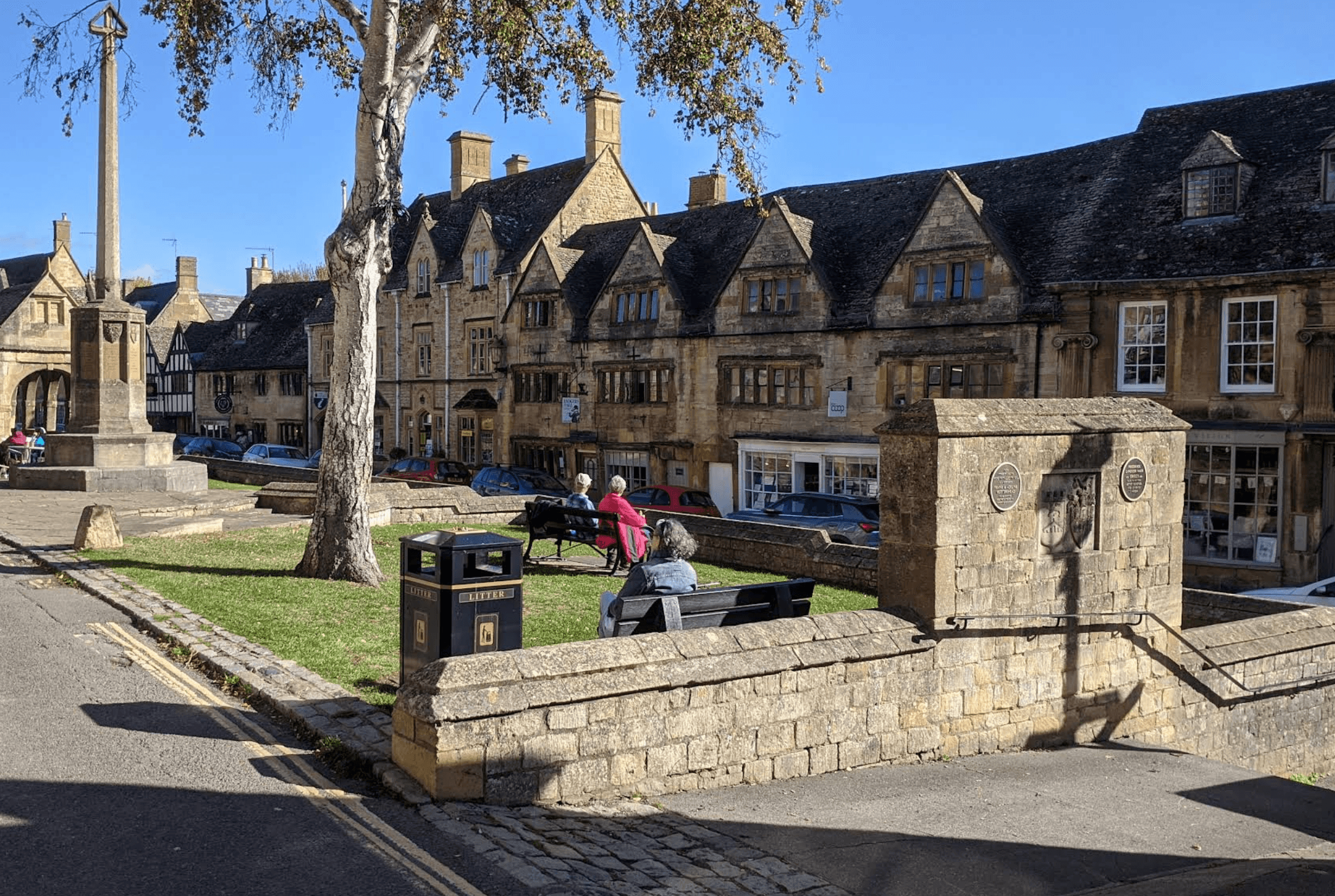
Reach the northern start at the Market Hall - trains to Moreton-in-Marsh, local buses and taxis, driving, and parking for Stage 1.
Read moreYour starting point for the Cotswold Way - distance, landscape, interactive map, history, navigation, and practical tips to help you prepare for the full National Trail from Chipping Campden to Bath.

Use this map to understand the shape of the Cotswold Way at a glance: where it climbs onto the escarpment, where it drops into villages and valleys, and how settlements are spaced for potential stage breaks. The route line and markers are intended for trip planning and orientation before you set out. For practical planning see Useful Information, the trail's History, and places to visit on Sights.
The Cotswold Way runs between two well-connected towns. Most walkers arrive the day before they set off, then use train, coach, taxi, or a pre-arranged lift for the journey home at the far end. These guides cover practical logistics for both termini.
Reach the northern start at the Market Hall - trains to Moreton-in-Marsh, local buses and taxis, driving, and parking for Stage 1.
Read more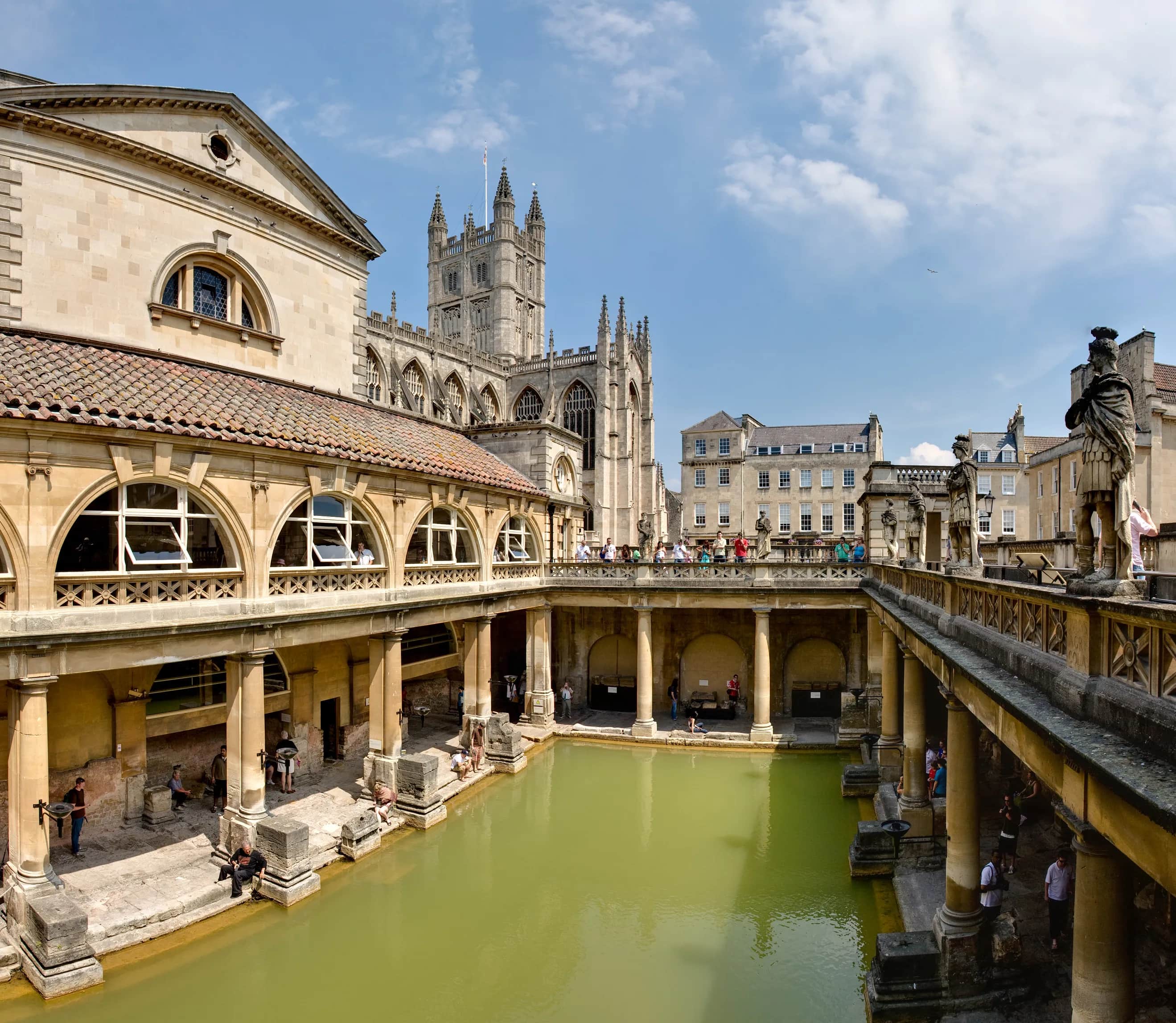
Reach the southern finish at Bath Abbey - Bath Spa station, coaches, park and ride, and what to do after you complete Stage 15.
Read moreThe trail is 102 miles (164 km) end to end. Most people walk it over several days, grouping the official National Trail sections to suit fitness and accommodation. For the full list of those sections with distances and descriptions, see Stages. Carry a map or guidebook on the trail, and browse Accommodation by town when planning overnight stops.
Through-walkers usually take 4, 7, 10, or 15 days for the full trail. Compare daily mileage, overnight towns, and how much time you have for sights on our Cotswold Way itineraries.
Historic Campden to Broadway via Dover's Hill, escarpment views, and Broadway Tower.
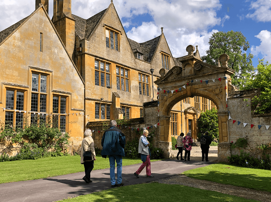
Broadway to Wood Stanway over high tracks, Stanton, and the Stanway Estate.

A steep pull to the ridge, then Beckbury Camp, Hailes Abbey, and Winchcombe.
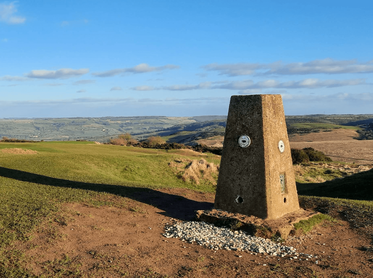
Winchcombe via Sudeley and Belas Knap, then down and up again to Cleeve Hill.
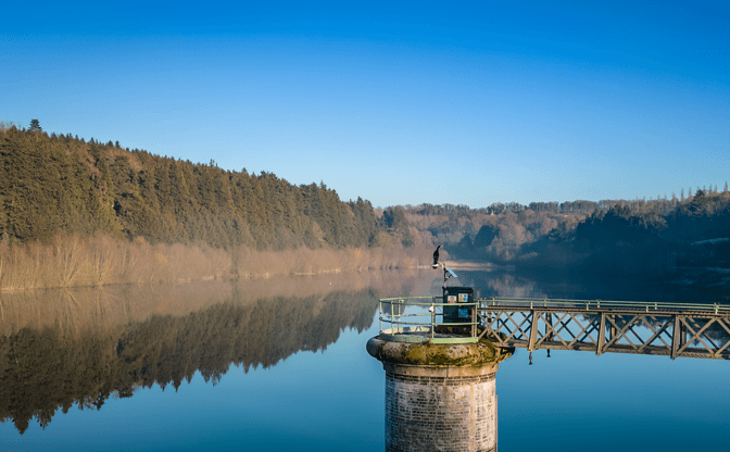
High-level walking from Cleeve Common to Dowdeswell via reserve, lanes, and woodland.
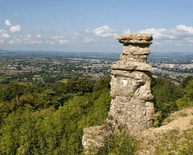
Dowdeswell to Leckhampton through Lineover Wood, Seven Springs, and open common.
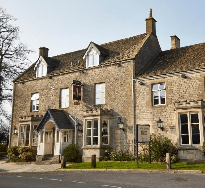
Leckhampton to Birdlip via Crickley Hill viewpoints and Barrow Wake grassland.
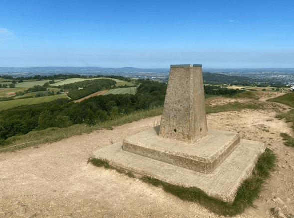
Birdlip to Painswick through beech woods, Cooper's Hill, and Painswick Beacon.
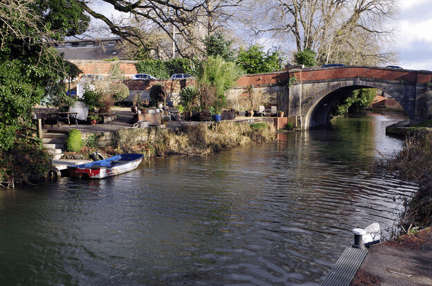
Painswick to King's Stanley via Edge Common, Haresfield Beacon, and Standish Woods.
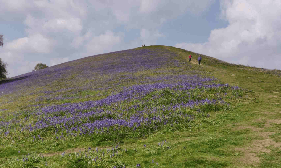
From King's Stanley through Pen Wood and Coaley Peak to Dursley.
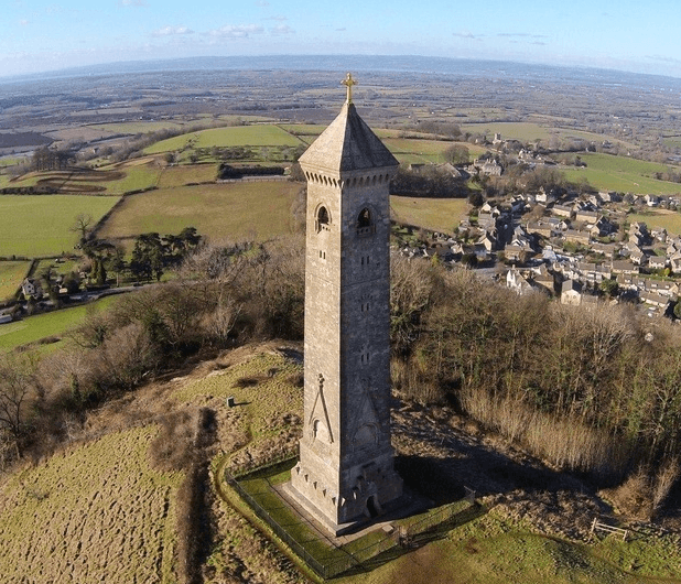
Dursley to Wotton-under-Edge via Stinchcombe Hill, North Nibley, and Tyndale Monument.
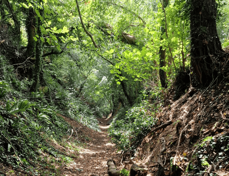
Wotton-under-Edge to Hawkesbury Upton via Newark Park, Alderley, and Lower Kilcott.
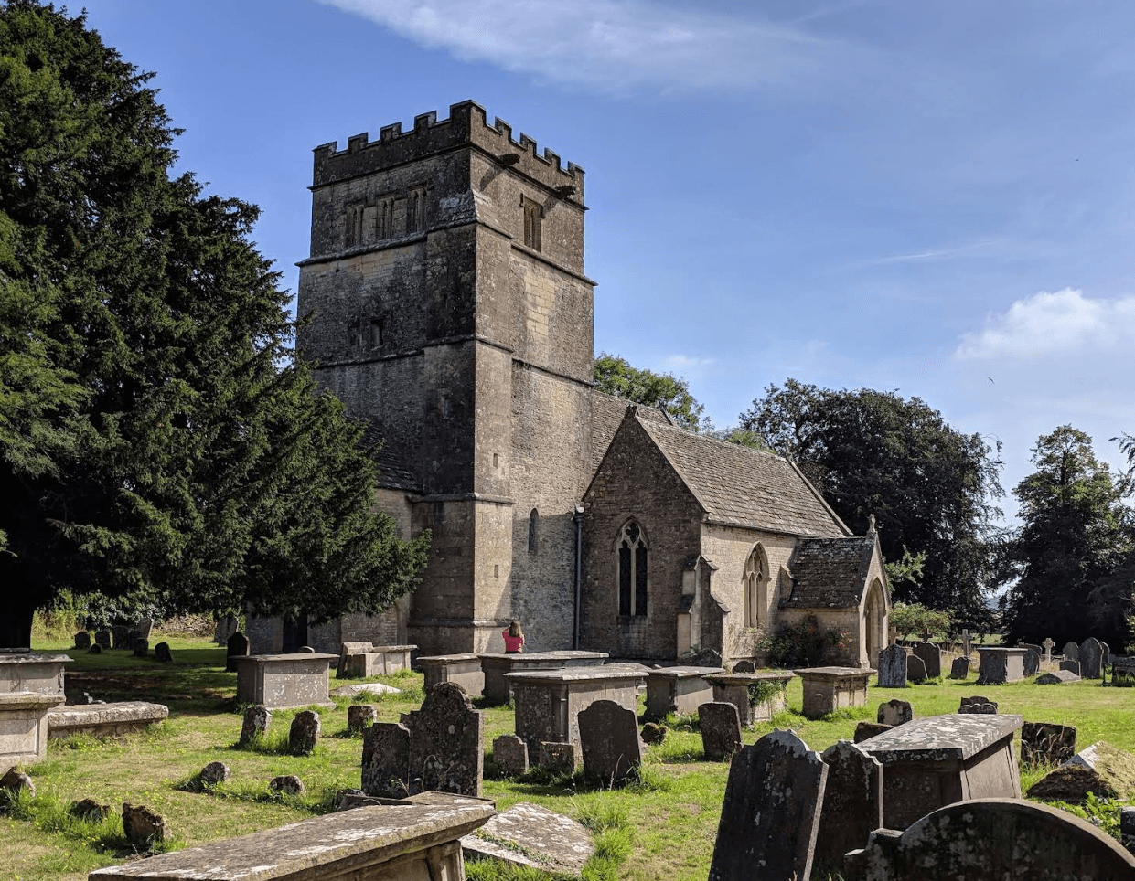
Hawkesbury Upton to Tormarton via Horton Court, Horton Fort, and Dodington Park.
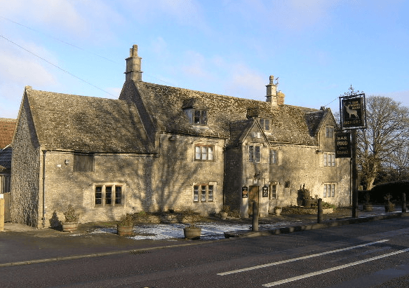
Tormarton to Cold Ashton past Dyrham Park, Dyrham village, and Dyrham Woods.
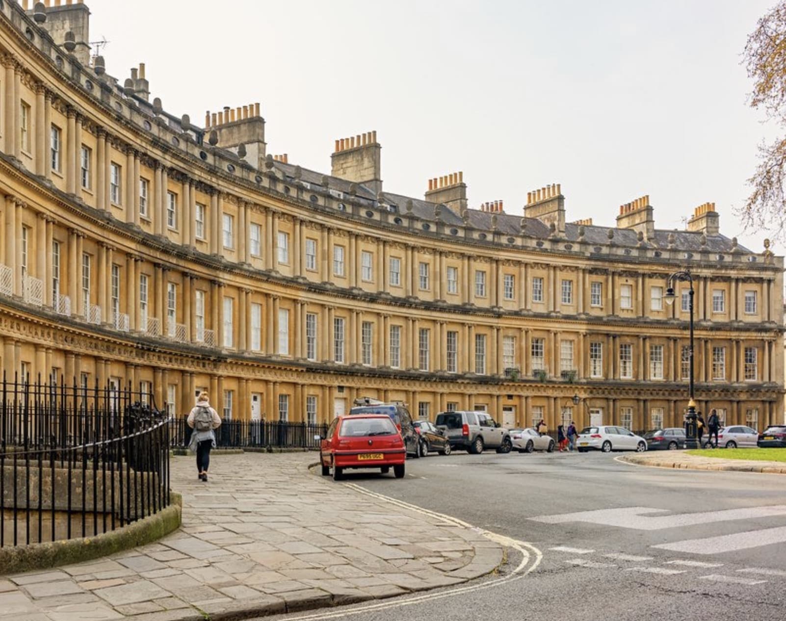
Final stage into Bath via Lower Hamswell, Lansdown, racecourse, Weston, and the Abbey.
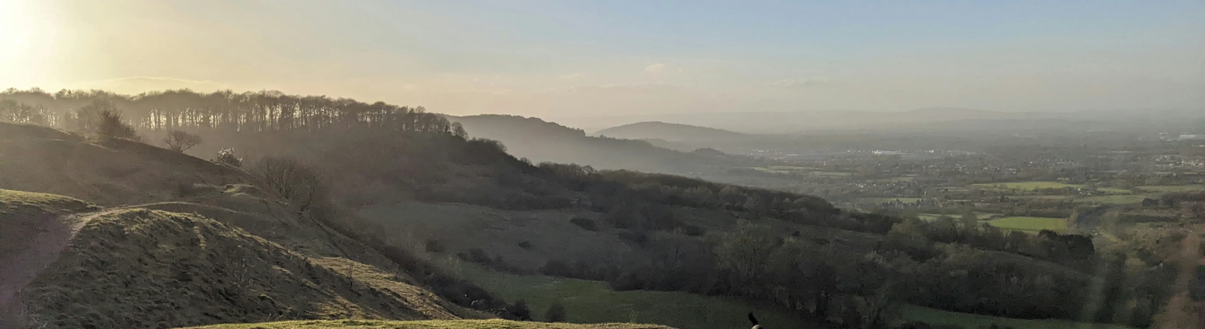
The Cotswold Way runs from the market town of Chipping Campden to the Roman city of Bath, following the western edge of the Cotswold Hills. It crosses rolling pastures, beech woodland, and honey-coloured villages built from Cotswold stone, much of it within the Cotswolds National Landscape (formerly an Area of Outstanding Natural Beauty). Along the route you pass ancient commons, Neolithic burial barrows, stately homes, and historic battle sites. The path on the escarpment gives wide views west towards the River Severn and the Malvern Hills.
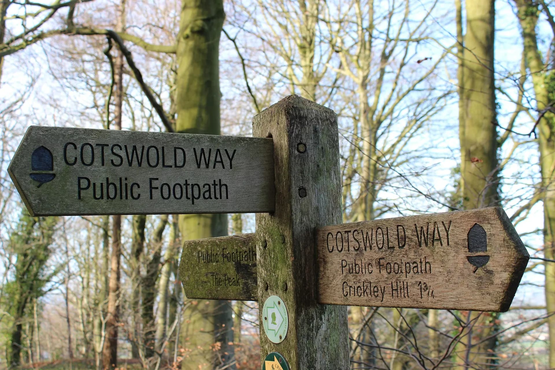
The National Trail is well way-marked in both directions (Chipping Campden-Bath or Bath-Chipping Campden). Most of the route follows the escarpment, so expect regular steep climbs even if you are otherwise fit; a guidebook or map is still recommended. Clear views from the escarpment are often best on crisp winter days or in autumn and spring; late spring and early summer show the grasslands at their finest, with beech woods particularly strong in spring and autumn.
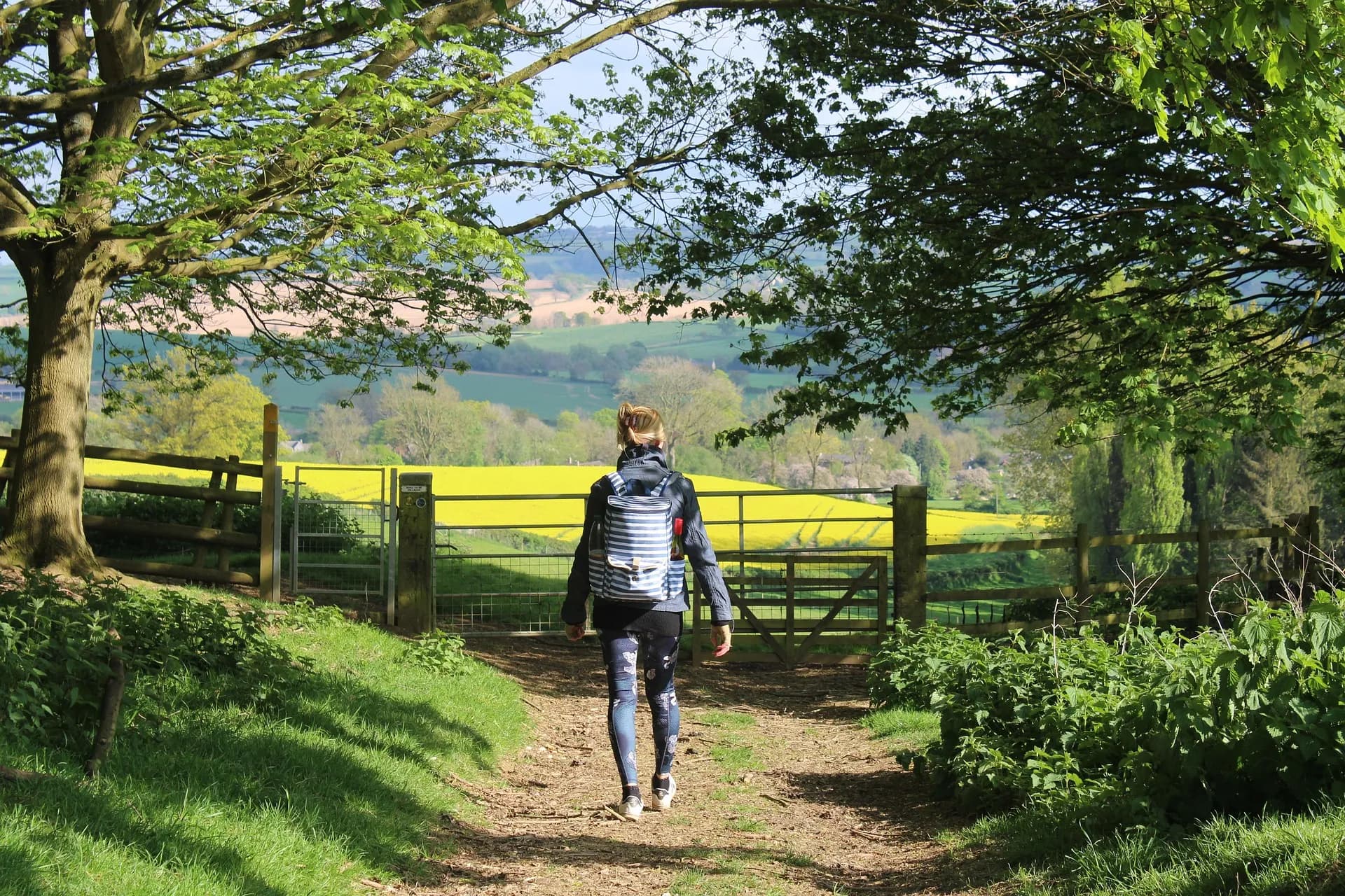
The trail is known for variety: pretty villages, the Bath World Heritage Site, Belas Knap long barrow, Sudeley Castle, Hailes Abbey, and many churches and historic houses. You can move from wildflower meadows to shaded woodland in a short distance, from a quiet village breakfast to a busy market town for lunch.
Wild camping is not legal on the Cotswold Way; use official campsites or other accommodation. There are bed-and-breakfasts, hotels, self-catering properties, campsites, and glamping options along or near the trail - many are listed on the National Trail site and interactive map. After your walk, see our Community pages for passports, certificates, and the Hall of Fame. The Cotswold Way is managed and maintained by Cotswolds National Landscape with support from Cotswold Voluntary Wardens.
For route sections, circular and linear walks, events, news, and educational resources (including Young Cotswold Way Explorers), see the links on the Cotswold Way National Trail hub.