 Stage 8
Birdlip to Painswick
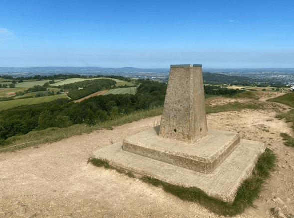
From Birdlip the route passes close to the remains of Great Witcombe Roman Villa before entering extensive semi-natural beech woodland, including Witcombe Wood. The path reaches Cooper's Hill, the setting of the annual cheese-rolling event, and continues toward Painswick Beacon, where earthworks from an Iron Age hillfort remain visible on open common and golf land.
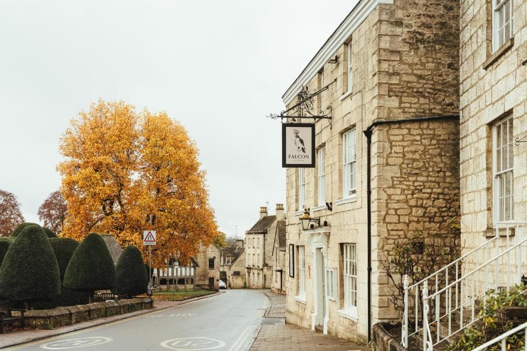
The stage descends into Painswick, often described as the midpoint of the Cotswold Way and noted for its historic stone buildings, churchyard yew trees, and Rococo Garden. The combination of woodland paths, steady changes in height, and the final descent into town makes this section more substantial in character than its distance alone might suggest.
Carry a map and offline route - see our Maps and navigation page for guidebooks and apps. For overnight stops near Painswick, browse accommodation in Painswick. Cafes and pubs for this section are listed on our Food & Drink page.
This stage appears in our 4-day plan (day 2), 7-day plan (day 4), 10-day plan (day 5) and 15-day plan (day 8). Compare all paces on the itineraries hub.
Sights on this stage include Painswick Beacon, Cooper's Hill, Great Witcombe Roman Villa and Painswick Rococo Garden.
Overnight stops nearby: Painswick.
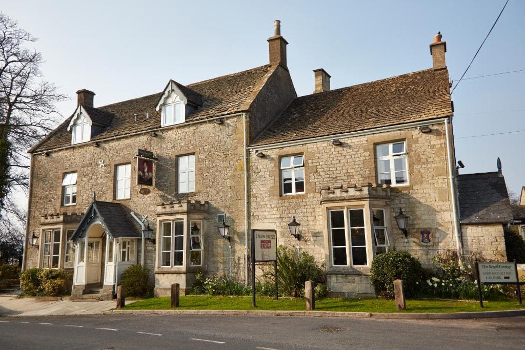
Places to stay before you start this stage.
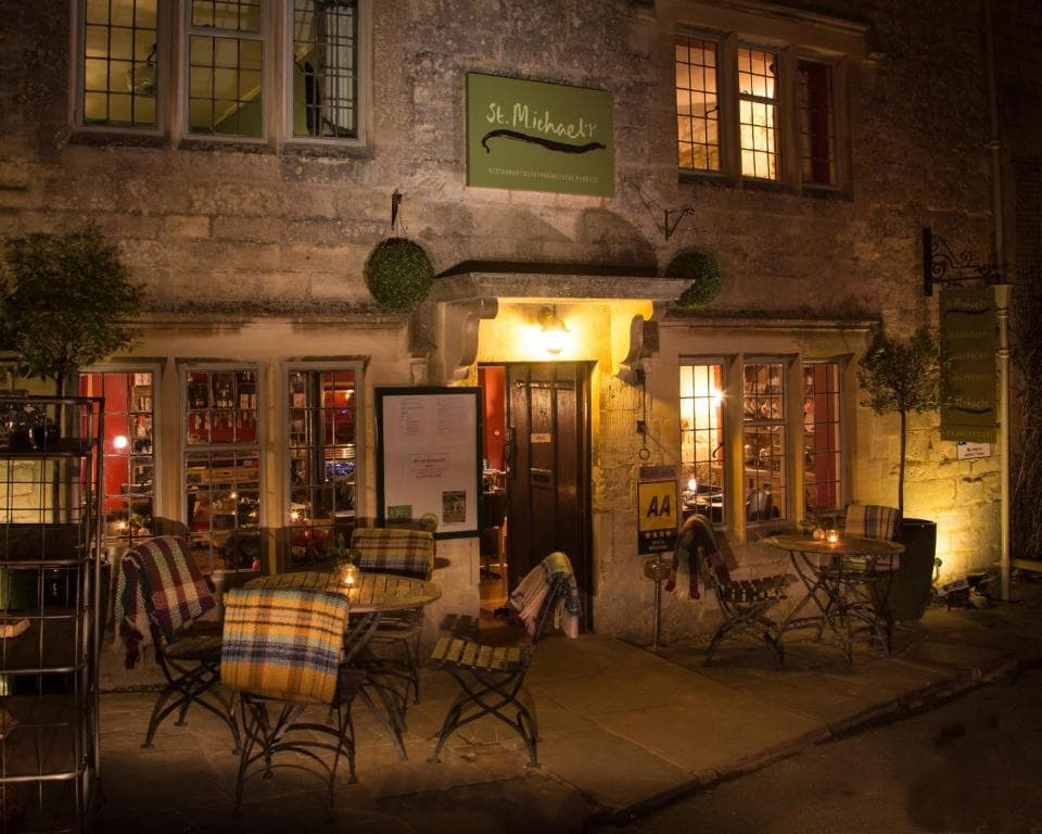
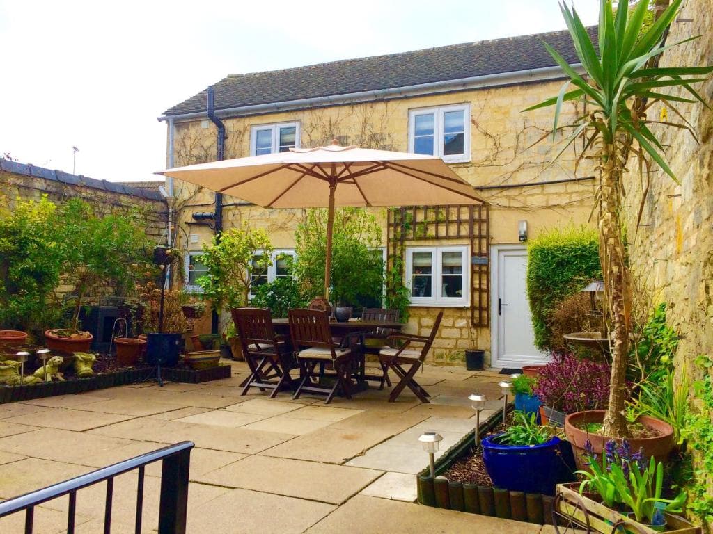
Places to stay after finishing this stage - browse more in Painswick.