Stage 9 from Painswick to King's Stanley - Edge Common, Haresfield Beacon, Standish Woods, and the Stroud valleys with optional canal-side routes. Distance, route variants, and what to expect on the trail.
 Stage 9
Painswick to King's Stanley
The stage drops from Painswick to Wash Brook and climbs again onto Edge Common, with open grassland and views back toward Painswick. After Haresfield Beacon, an Iron Age hillfort above the Severn Valley, the path descends through Standish Woods into the Stroud valleys, where the character of the walk changes as the route approaches the Stroudwater Navigation.
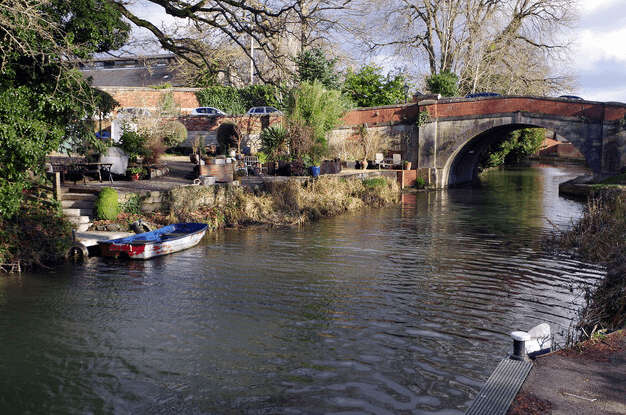
Near the canal, walkers may follow the main line through King's Stanley or take an alternative route along the waterway and up onto Selsley Common, which adds distance and climbing but offers wide views over the Severn Valley. Both options converge toward King's Stanley and Middleyard. This is one of the longer stages on the trail, moving between open escarpment, woodland, farmland, and valley floor.
Carry a map and offline route - see our Maps and navigation page for guidebooks and apps. For overnight stops near King's Stanley, browse accommodation in King's Stanley. Cafes and pubs for this section are listed on our Food & Drink page.
This stage appears in our 4-day plan (day 3), 7-day plan (day 4), 10-day plan (day 6) and 15-day plan (day 9). Compare all paces on the itineraries hub.
Sights on this stage include Haresfield Beacon, Painswick Rococo Garden, Selsley Common and Woodchester Mansion.
Overnight stops nearby: Painswick and King's Stanley.
Places to stay before you start this stage - browse more in Painswick.
Places to stay after finishing this stage - browse more in King's Stanley.