Stage 11 from Dursley to Wotton-under-Edge - Stinchcombe Hill, North Nibley, Tyndale Monument, and mixed woodland on a varied day. Plan your walk with distance, ascent, route description, and places to stay.
 Stage 11
Dursley to Wotton-Under-Edge
Leaving Dursley, a steep climb leads onto Stinchcombe Hill. The National Trail follows a longer route around the perimeter of the hill, which offers broader views across the Severn Vale than the shorter line across the neck of the hill near the golf course. The trail descends through woodland and farmland to North Nibley, then climbs again toward the Tyndale Monument.
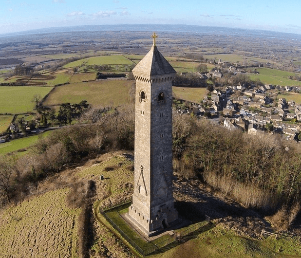
The monument, 111 feet (34 m) high and completed in 1866, commemorates William Tyndale, the 16th-century scholar who translated the New Testament into English. The route continues across grassland and woodland to Wotton Hill, where a walled enclosure surrounds trees planted in 1815 to mark the Battle of Waterloo, before descending into Wotton-under-Edge. Walkers should follow signed diversions where landslip or maintenance work affects the approach to the monument.
Carry a map and offline route - see our Maps and navigation page for guidebooks and apps. For overnight stops near Wotton-under-Edge, browse accommodation in Wotton-under-Edge. Cafes and pubs for this section are listed on our Food & Drink page.
This stage appears in our 4-day plan (day 3), 7-day plan (day 5), 10-day plan (day 8) and 15-day plan (day 11). Compare all paces on the itineraries hub.
Sights on this stage include Tyndale Monument and Stinchcombe Hill.
Overnight stops nearby: Dursley and Wotton-under-Edge.
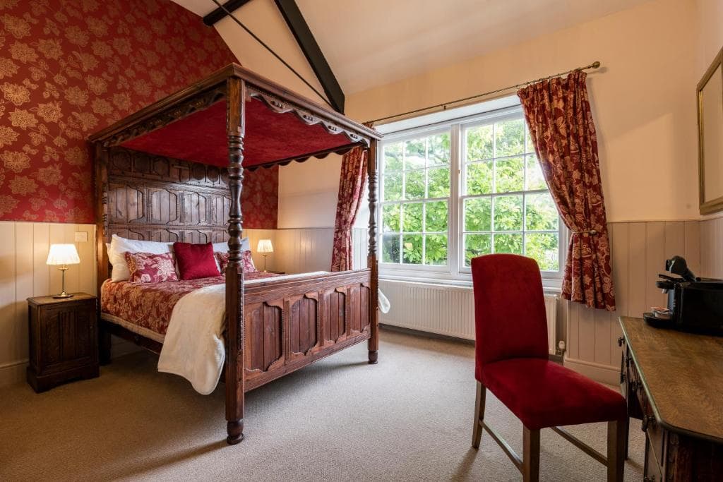
Places to stay after finishing this stage - browse more in Wotton-Under-Edge.