Stage 13 from Hawkesbury Upton to Tormarton - Horton Fort, Old Sodbury, and Capability Brown parkland at Dodington as the trail moves south. Your stage guide with distance, terrain, and what each day looks like.
 Stage 13
Hawkesbury Upton to Tormarton
After an old drovers' pond the trail follows Bath Lane south toward Horton. The route passes close to Horton Court, a National Trust property with medieval origins and one of the oldest surviving domestic buildings associated with an English rectory, before climbing to Horton Fort, an Iron Age hillfort with views across the Severn Vale.
The path crosses farmland through Horton and Old Sodbury before entering Dodington Park, where Capability Brown-designed parkland surrounds Dodington House. This stage marks a shift from the higher escarpment of the central Cotswolds into the rolling agricultural landscape of the south. The stage ends at Tormarton, a small village with limited services compared with larger towns along the route.
Carry a map and offline route - see our Maps and navigation page for guidebooks and apps. For overnight stops near Tormarton, browse accommodation in Tormarton.
This stage appears in our 4-day plan (day 4), 7-day plan (day 6), 10-day plan (day 9) and 15-day plan (day 13). Compare all paces on the itineraries hub.
Overnight stops nearby: Hawkesbury Upton and Tormarton.
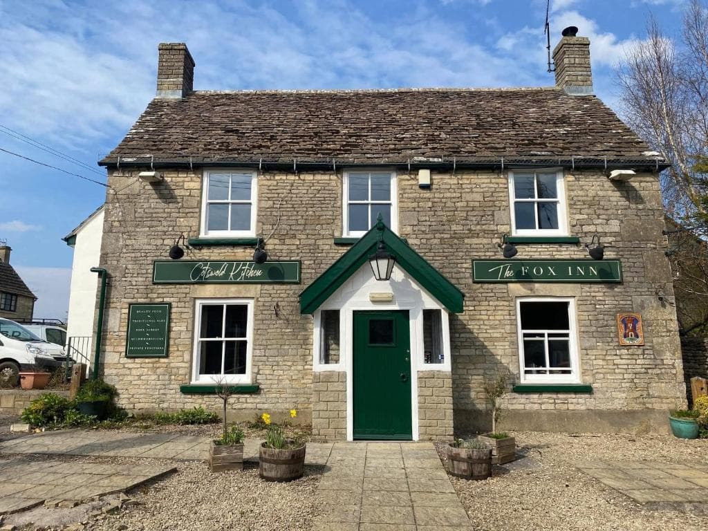
Places to stay before you start this stage - browse more in Hawkesbury Upton.
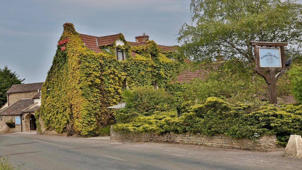
Places to stay after finishing this stage - browse more in Tormarton.