Open limestone common above the Stroud valleys with Severn Vale views and a Bronze Age long barrow - an optional Cotswold Way line on Stage 9 via the canal and the climb from King's Stanley.
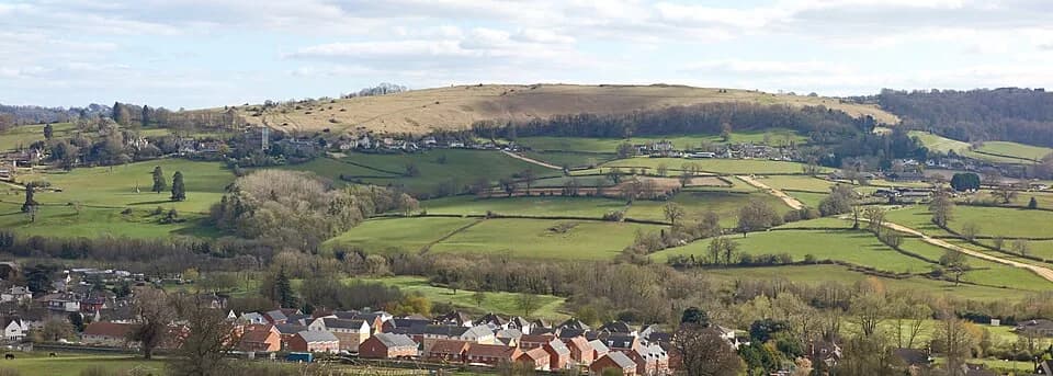
Selsley Common is a stretch of open Jurassic limestone grassland on the Cotswold escarpment west of Stroud, looking out over the River Severn, the Malvern Hills, and on clear days into Wales. The plateau is managed as public common land and is valued for wildflowers, skylarks, and the sense of space after the wooded and valley sections of Stage 9. Near the crest stands The Toots, a Bronze Age long barrow (burial mound) that makes a natural pause on the high ground.
At the Stroudwater Navigation the Cotswold Way offers a choice of lines: the main route toward King's Stanley, or an alternative that follows the canal then climbs onto Selsley Common before rejoining toward Middleyard. The common option adds ascent and distance but rewards you with the widest western views on this stage. Paths are mostly open and can be windy; after rain the turf turns slippery.
There is no ticket or set opening hour - access on foot is free. Stroud District Council manages the common; treat livestock, ground-nesting birds, and archaeology with care. Combine the stop with Haresfield Beacon earlier on Stage 9, or continue south on Stage 10 toward Coaley Peak and Uley. Local context for Stroud-district commons is on the Stroud District Council commons page.