Looking for a Cotswold Way route planner, a Cotswold Way map, or the best hiking app for Cotswolds day stages? These popular blogs and websites share real itineraries, accommodation notes, and navigation tips from people who have walked the National Trail. Pair them with our Maps page for guidebook and Cotswold Way app options, our free GPX download, and the stages overview.
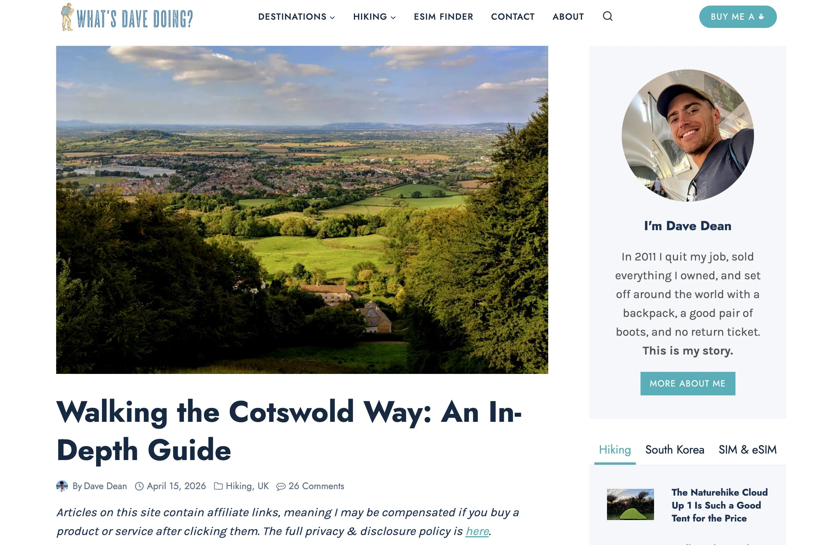
What's Dave Doing?
By Dave Dean
A practical planning-and-logistics deep dive covering distance, signposting, bag transport, accommodation, food, costs, and a day-by-day route summary. Dave walked Bath to Chipping Campden and pairs guidebook notes with AllTrails and a National Trail GPX - useful if you want a Cotswold Way map backup alongside a Cotswold Way app or offline planner.
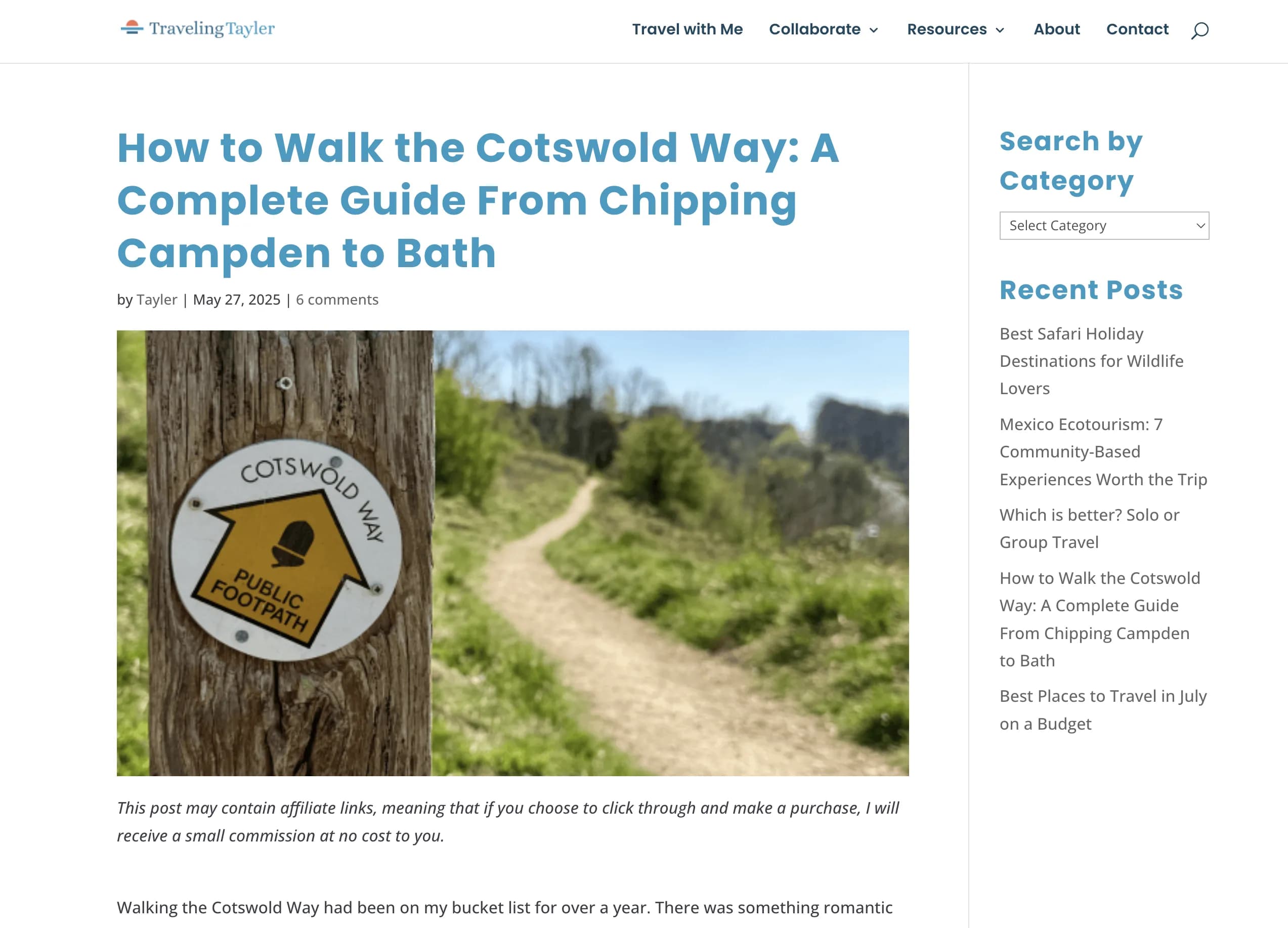
Visit articleTraveling Tayler
By Tayler Gill
A 12-day north-to-south itinerary with stays, highlights, packing, and training notes. Day 1 covers Chipping Campden to Broadway, with AllTrails used as a hiking app for pace and navigation plus a paper Cotswold Way map from the post office - a clear example of blending a Cotswold Way route planner approach with on-trail waymarks.
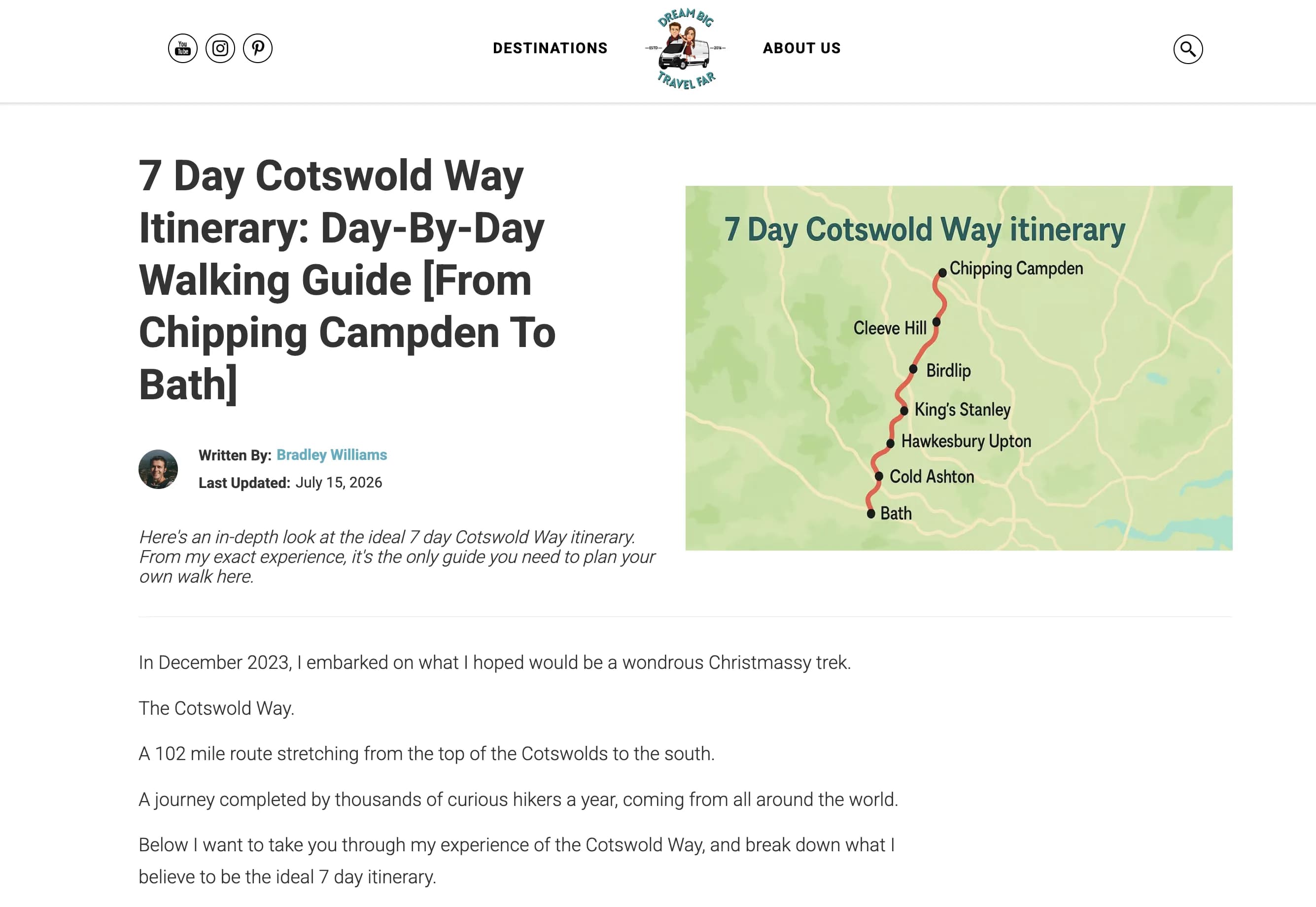
Visit articleDream Big, Travel Far
By Bradley Williams
A compact week-long Cotswold Way planner from Chipping Campden to Bath, with strategic overnight stops and honest tips from a December trek. Handy when you need a faster Cotswold route planner than a leisurely fortnight, while still checking the Cotswolds Way map and overnight options before you commit to long daily miles.
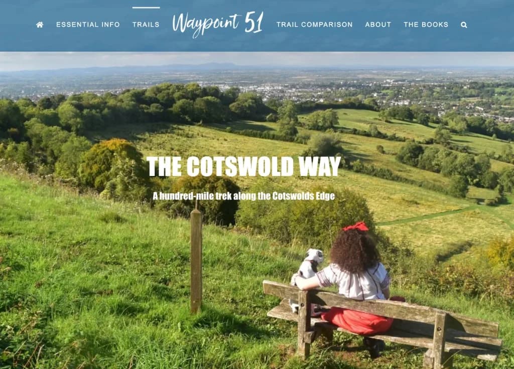
Visit articleWaypoint 51
By Henry Stedman
A guidebook author's overview of the National Trail - distance, difficulty, start and finish, and an honest take on escarpment hills versus honey-stone villages. Strong on woodland, Iron Age sites, follies such as Broadway Tower, and finishing in Bath, with practical basics for a 7-9 day walk and links to the wider Waypoint 51 trail guides.
Visit articleWalking Englishman
By Walking Englishman
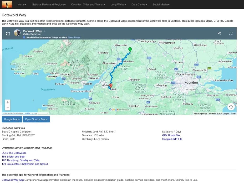
A long-standing trail guide with an embedded route map, downloadable GPX and Google Earth files, and key statistics - 102 miles, 4,573 metres of climbing, and grid references for Chipping Campden and Bath. Lists the Ordnance Survey Explorer sheets that cover the route and links to seven day-by-day stage reports with photos from a 2011 through-walk, useful alongside a Cotswold Way map or GPX when you are planning daily distances.
Visit articleTrail Planner
By Trail Planner
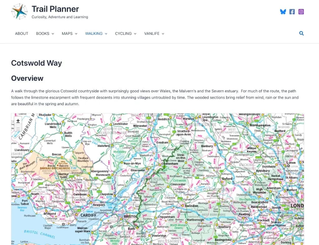
A first-hand account of walking the full route in five days, with notes on when to go, where to stay, and how to reach the start by train and bus. Covers escarpment views across the Severn Vale, spring wild garlic in the woods, and a fast-paced itinerary through Winchcombe, Birdlip, Painswick, and Hawkesbury Upton to the finish at Bath Abbey - plus practical warnings about Cheltenham Festival week and limited camping along the trail.
Visit article
For official stages, the Cotswold Way map on this site, and a free Cotswold Way route planner style overview of distances, start with The Way.