

Apps
Phone apps for the Cotswold Way - dedicated trail tools, AllTrails, Komoot, Gaia GPS, and a downloadable GPX route file for GPS and offline use.
Read moreMaps, apps, and guidebooks for the Cotswold Way - compare phone navigation, paper Ordnance Survey mapping, and trail guides so you stay on the National Trail from Chipping Campden to Bath.
Use this Cotswold Way map and GPX download to plan the National Trail from Chipping Campden to Bath. The route is waymarked with the National Trails acorn in both directions, but waymarks alone are not enough. Carry a reliable paper map or guidebook, and use a phone app as a live backup - not your only navigation tool. Battery, rain, and signal drop out; a printed sheet still works when the screen does not.
Most walkers mix options: a guidebook for stage notes and villages, OS or National Trail mapping for the wider landscape, and an app for GPS tracking, offline maps, and last-minute diversions. Once you have chosen daily distances, see Stages for the official sections, and Useful information for packing, weather, and emergencies.
The map below shows the full Cotswold Way with all 15 stages coloured. Download the full-trail GPX from the map controls for offline GPS. Each stage page also has its own per-stage GPX file if you prefer shorter day files.
This interactive map plus the 15 official stages is your Cotswold Way route planner. Combine sections to match your pace and overnight stops - most people walk the full trail over 7 to 10 days. There is no separate itinerary tool: pick stages, download GPX, and book beds near the stage ends you choose.
Phone apps for the Cotswold Way - dedicated trail tools, AllTrails, Komoot, Gaia GPS, and a downloadable GPX route file for GPS and offline use.
Read more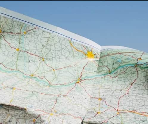
Dedicated Cotswold Way maps at trail-friendly scales - waterproof sheets, atlas booklets, and Zigzag concertina strips from The Trails Shop.
Read more
Popular Cotswold Way guidebooks with stage notes, mapping, and planning tips - Cicerone, Trailblazer, National Trail Guides, and more.
Read more