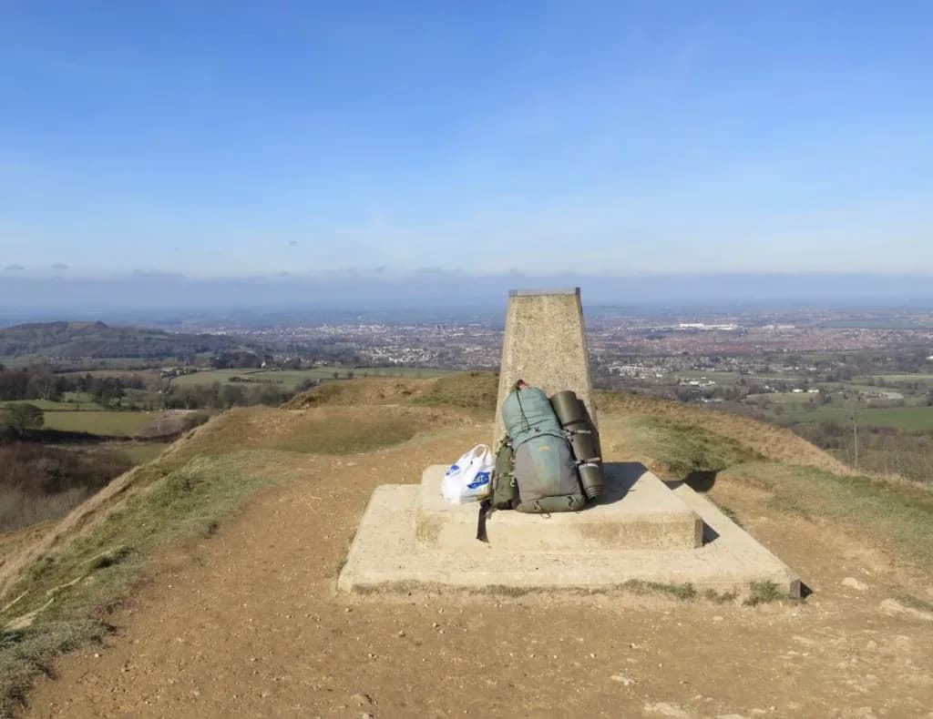
Painswick Beacon crowns the hill above the town of Painswick, a stretch of open limestone grassland crossed by the Cotswold Way on Stage 8 between Birdlip and town. The summit carries the earthworks of Kimsbury hillfort - also known as Castle Godwyn - a multivallate Iron Age enclosure occupied from around 400 BC. Ramparts and ditches still show through the turf, though parts of the interior have been quarried and the common now shares space with Painswick Golf Club.
Many walkers treat the beacon as the emotional midpoint of the 102-mile National Trail. From the top, clear days open across the Severn Vale toward Gloucester, the Forest of Dean, and on the best afternoons the Brecon Beacons. A trig point marks the high ground, and an information board beside the path explains the hillfort, the golf course history, and the site's status as a Site of Special Scientific Interest for limestone grassland, orchids, and butterflies.
The Cotswold Way crosses the golf course here - follow signed routes and keep alert for flying balls. Stick to the path through the active fairways, then continue along the ramparts before descending into Painswick with its churchyard yews and stone streets. Entry on foot is free. The Walkers' car park off Golf Course Road (GL6 6BN) is a useful start for a circular walk if you are overnighting in town; combine the beacon with the Rococo Garden or Cooper's Hill on a rest day.
Stay in Painswick.
On the path in the 7-day itinerary; on the path in the 10-day itinerary; on the path in the 15-day itinerary.