Dedicated paper maps for the Cotswold Way - Harvey, A-Z Adventure Atlas, Zigzag strips, and the Cicerone map booklet, with notes on scale and where to buy from The Trails Shop.
A paper map still earns its place on the Cotswold Way. Phones lose signal on the escarpment, screens wash out in rain, and batteries die on long summer days. A printed sheet - or a map booklet you can fold one-handed - shows the wider landscape: footpaths beyond the acorn markers, lanes down to villages, and sensible escape routes if you need to cut a stage short.
Many walkers cover the route with OSExplorer sheets at 1:25 000, buying the Explorer maps that match their planned stages. Dedicated Cotswold Way maps listed below cover the full National Trail in one product - a waterproof Harvey sheet at 1:40 000, an A-Z Adventure Atlas at 1:25 000, or Zigzag concertina strips at 1:16 000 for finer detail along the path itself. Choose the scale you can read comfortably in wind and gloves.
Maps work best alongside a guidebook for stage notes and village facilities, and a phone app for live GPS. Once your daily distances are set, see Stages for the official sections. The dedicated maps below are sold by The Trails Shop, the official National Trails retailer.
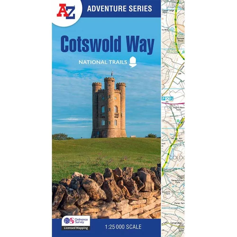
A-Z / Ordnance Survey, 2025
Covers the full Cotswold Way in a spiral-bound book of 1:25,000 Ordnance Survey mapping - handy to pack and easier to manage in wind than loose sheets.
Buy from The Trails Shop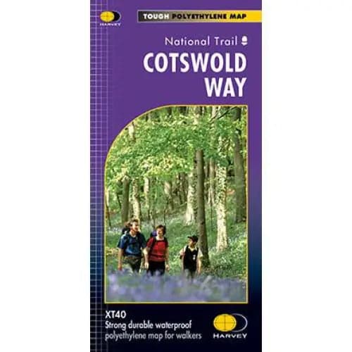
Harvey Maps
Lightweight, waterproof map of the entire route on one sheet at 1:40,000, with national grid for GPS use, town enlargements, and practical notes on accommodation and services.
Buy from The Trails Shop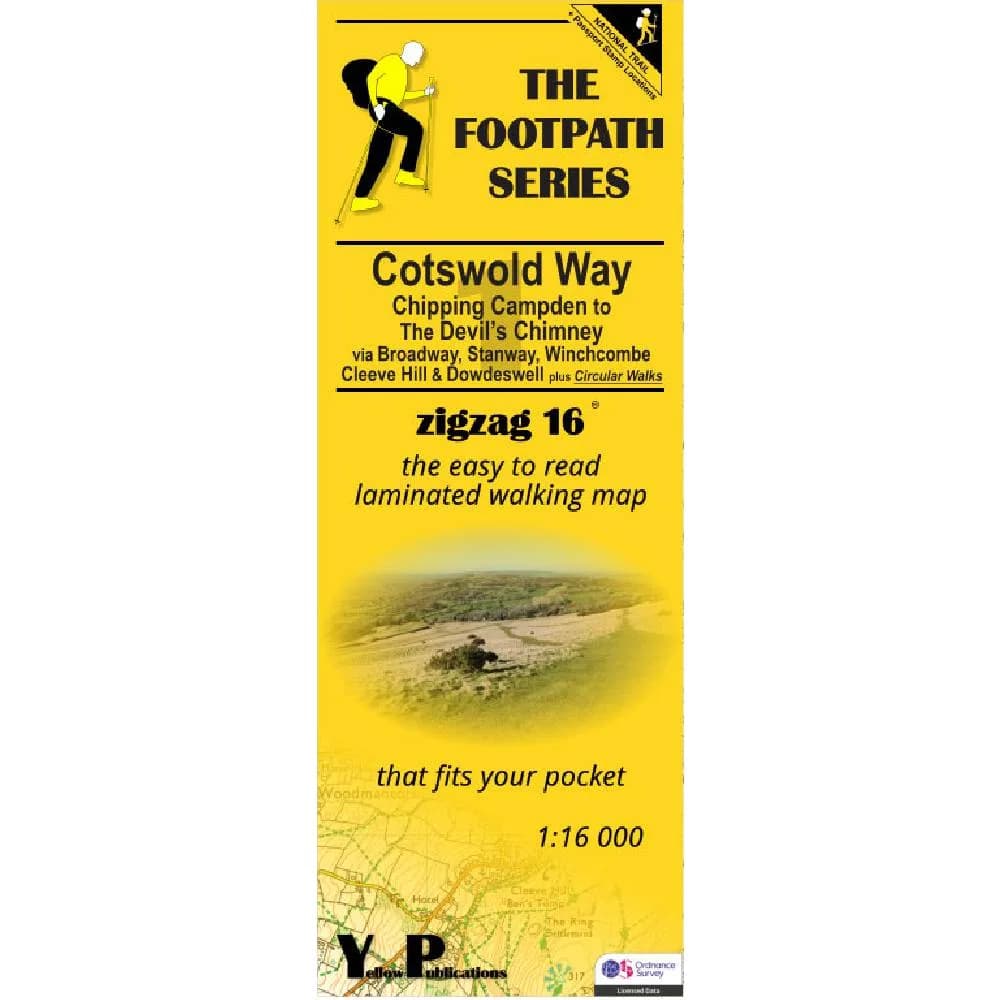
Zigzag Maps
Concertina strip map from Chipping Campden to the Devil's Chimney at 1:16,000 - opens out to follow the path without constant refolding.
Buy from The Trails Shop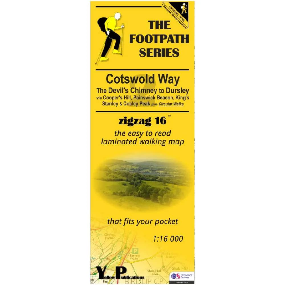
Zigzag Maps
Middle section of the Zigzag series, from the Devil's Chimney to Dursley at 1:16,000 in the same concertina format.
Buy from The Trails Shop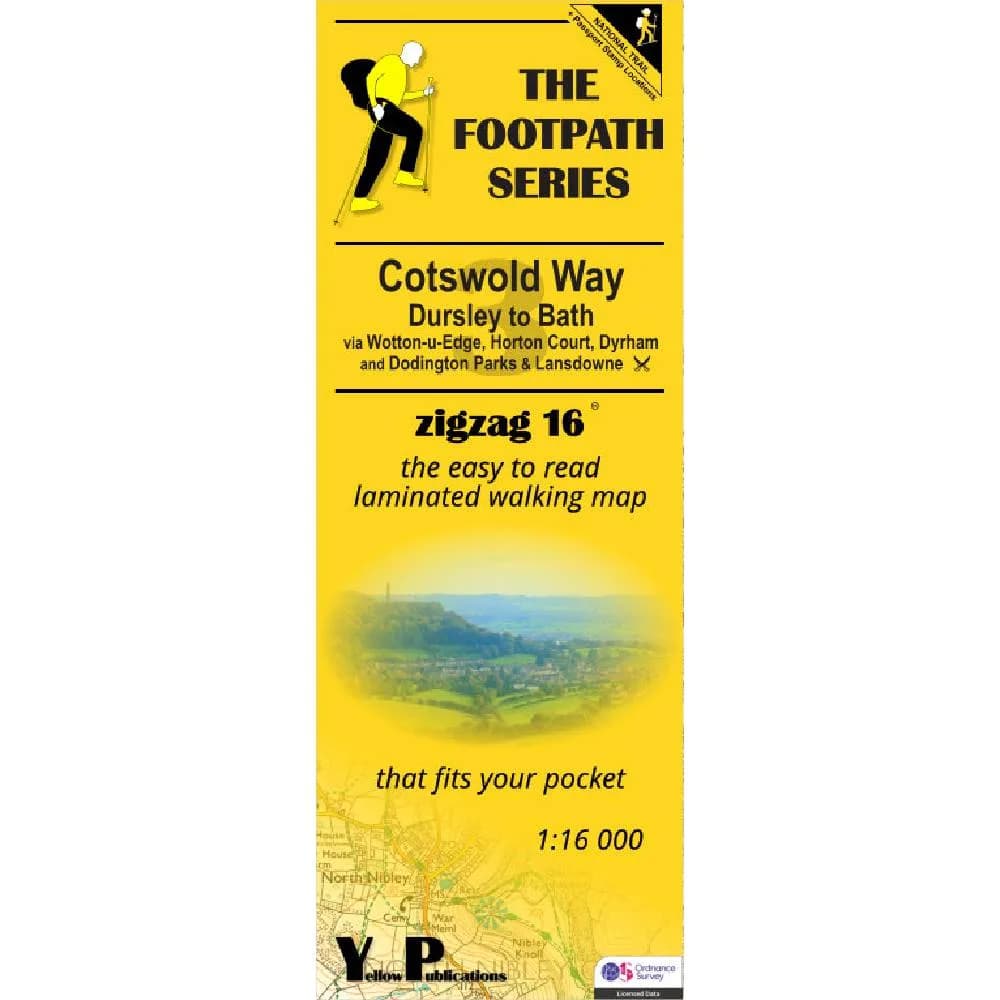
Zigzag Maps
Final Zigzag sheet from Dursley to Bath at 1:16,000 - buy all three to cover the full National Trail.
Buy from The Trails Shop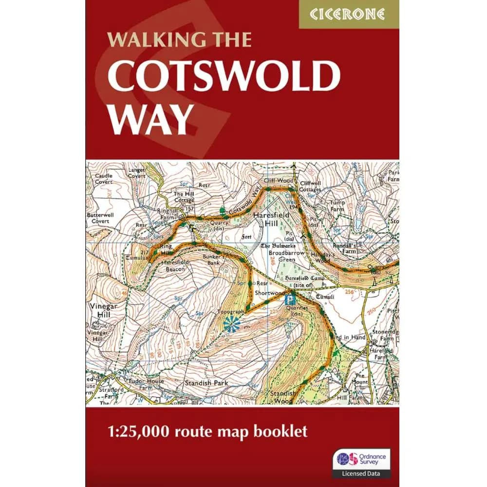
Cicerone Press, 2024
Standalone pocket map booklet of 1:25,000 Ordnance Survey Explorer mapping for the full route - the same maps bundled with the Cicerone guidebook, sold separately if you already have directions elsewhere.
Buy from The Trails Shop