Apps

Phone apps for the Cotswold Way - the dedicated trail app, AllTrails, Komoot, Gaia GPS, and a downloadable GPX route file for offline GPS navigation alongside your paper map.

We recommend using an app on the trail to stay updated and get the most out of the Cotswold Way - for GPS tracking, offline maps, trail notes, and day-by-day planning. Treat the phone as a complement to paper maps and guidebooks, not a replacement. Download maps while you still have Wi-Fi, and keep a power bank for longer stages.

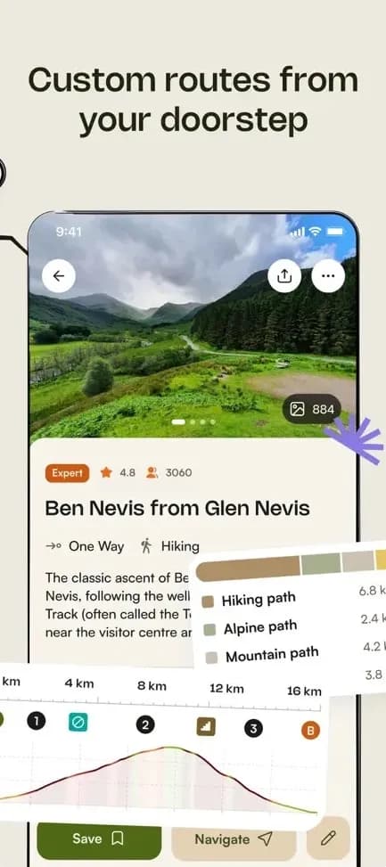
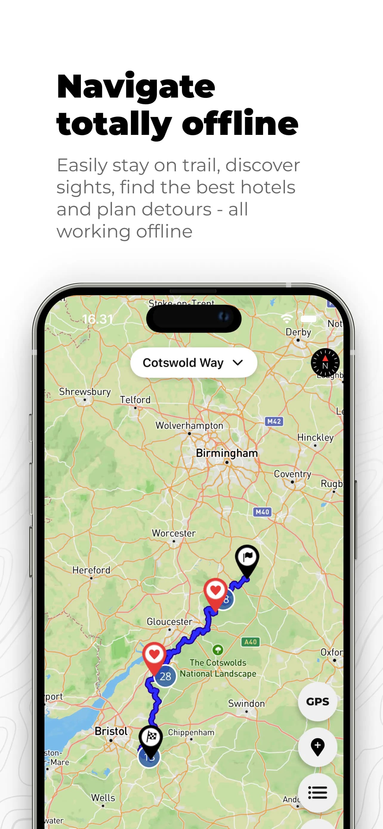
Cotswold Way app on a phone

Cotswold Way

Community supportedFree

More than a map: a trail planner and navigator built for this National Trail. Build your itinerary day by day, add personal notes to the map, and follow the route offline with GPS. Points of interest such as accommodation, food, and sights are included too. Free to download for iPhone and Android.

The app is shaped by walker contributions - tips, corrections, and local knowledge from people who know the trail. It is kept up to date as the route and facilities change, and it is built with a simple mission: to stay free, always, so anyone walking the Cotswold Way can rely on it without a subscription.


Download on the App StoreGet it on Google Play
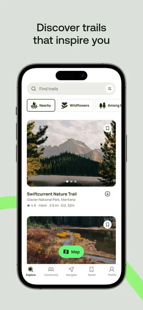
AllTrails app screenshot

AllTrails

PremiumFree

A popular outdoor app with the Cotswold Way listed as a full route and as shorter sections. Use it to preview elevation, read recent trip reports, and follow the line on your phone. Offline maps usually need a paid plan - download before you leave Wi-Fi.

Download on the App StoreGet it on Google Play
Komoot app on a phone

Komoot

PremiumFree

A route planner and navigator used by millions of outdoor enthusiasts. Komoot lists the Cotswold Way as a full hike with staged collections you can adapt into your own itinerary - useful for comparing daily distances, elevation, and surface types before you set off.

Turn-by-turn voice navigation, offline maps, and other trail features require a Komoot subscription. Community tips and photos still add useful local detail when you are comparing stages before you set off.

Download on the App StoreGet it on Google Play
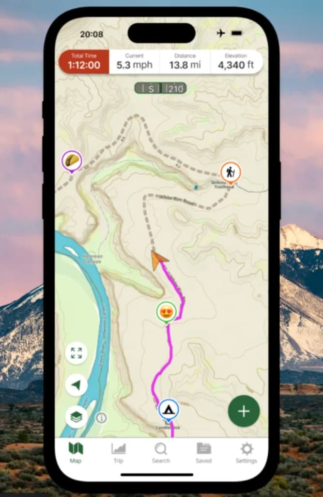
Gaia GPS app showing a topographic map and hike stats on a phone

Gaia GPS

PremiumFree

A topographic mapping app from Outside Inc., useful when you want detailed terrain layers, hill shading, and offline maps for hiking and camping. Import the Cotswold Way GPX file or follow community routes, then download map tiles before you leave Wi-Fi.

Free to try; many offline map layers and advanced tools need a Gaia GPS subscription. A good option if you already use Gaia elsewhere and want the same toolkit on this National Trail.

Download on the App StoreGet it on Google Play

Digital route file

For planning on a computer or importing into a GPS app, you can download the trail as GPX.

GPX is a widely supported format. You can find many free apps for both iOS and Android that open GPX files, show your position on the route, and work offline once the file is saved on your phone. Search your app store for GPX viewers or outdoor navigation apps if you want a lightweight option alongside the tools listed above.

Organizations supporting the trail