Popular Cotswold Way guidebooks - Cicerone, Trailblazer, National Trail Guides, Knife Edge, and Sparky Walking Guides, with notes on mapping, stage plans, and where to buy each title.
A good Cotswold Way guidebook does more than repeat the line of the path. It breaks the 102 miles into manageable stages, notes where the climbing comes, and points out pubs, churches, and viewpoints you might otherwise stride past. Most editions include mapping inside the book or in a separate booklet - enough to navigate in clear weather, though many walkers still carry a dedicated paper map for wet days and wider context.
Check whether directions are written one way only or in both directions. If you are walking south to north, a two-way guide saves constant mental flipping. Compare suggested stage lengths with your own fitness and accommodation plan - the official 15 sections on our Stages page are a useful benchmark, but guidebooks often propose slightly different daily splits.
The titles below are widely used on the trail. Buy from your usual bookseller, or follow each link to find the current edition. Pair your book with a phone app for GPS tracking, but treat the printed directions as your primary reference when the signal drops on the escarpment.
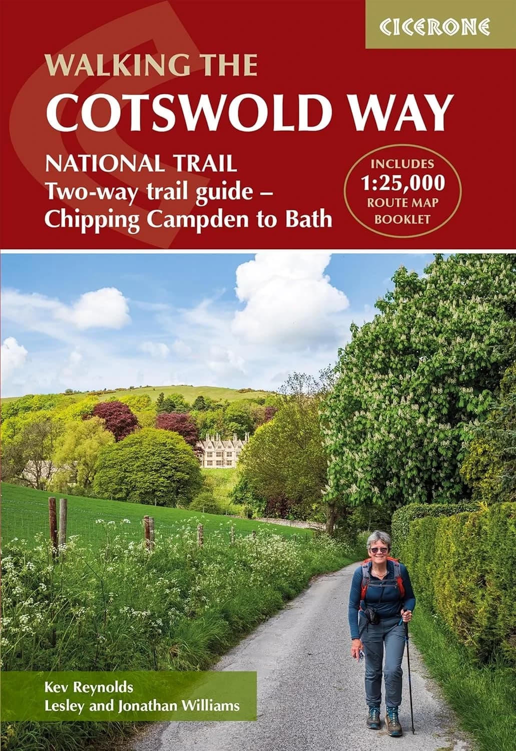
Kev Reynolds, Jonathan Williams & Lesley Williams
Cicerone Press, 2024
Divides the route into 14 manageable stages, with clear descriptions walking north to south and abbreviated directions for south to north. Includes a separate pocket-sized map booklet with detailed 1:25,000 Ordnance Survey mapping.
Find on Amazon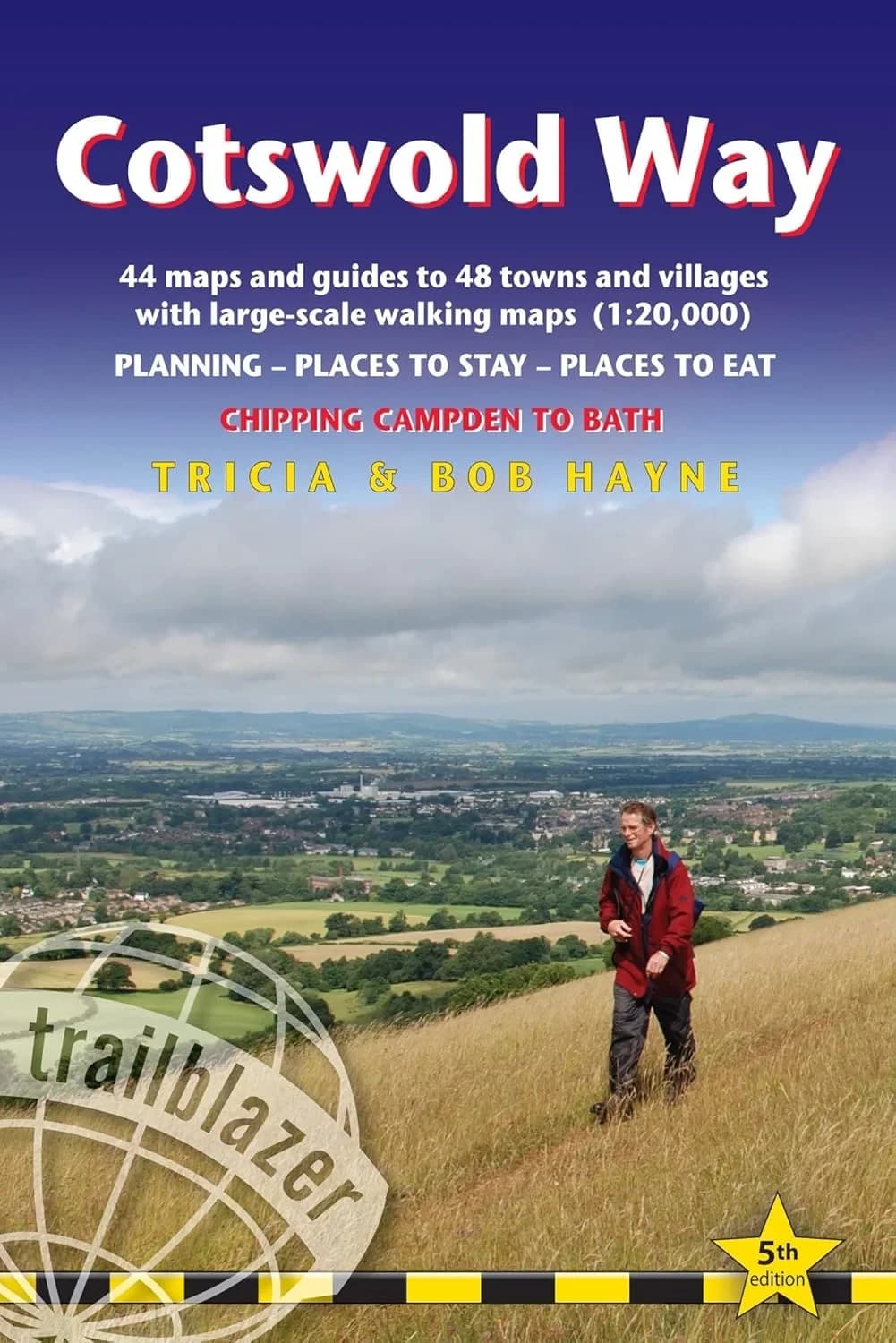
Tricia & Bob Hayne
Trailblazer, 2024
A practical handbook for the full route from Chipping Campden to Bath, with re-walked directions, village facilities, and planning notes for walkers who want day-by-day detail in a compact format.
Find on Amazon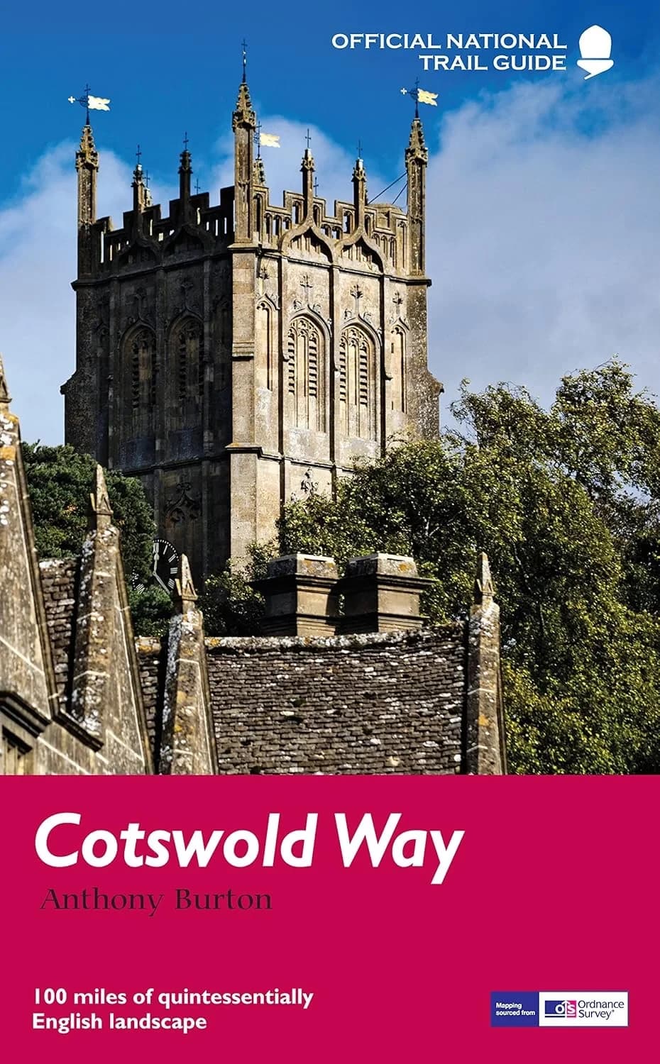
Anthony Burton
Aurum, 2016
The classic National Trail Guides treatment of the route, combining OS mapping extracts with landscape and heritage notes as you travel the escarpment from Chipping Campden to Bath.
Find on Amazon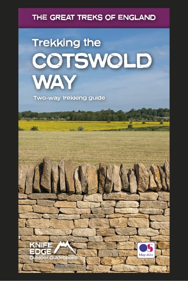
Knife Edge Outdoor Guidebooks
Knife Edge Outdoor
A two-way guide describing both southbound and northbound routes in full, with 1:25,000 Ordnance Survey mapping inside. Includes 18 suggested itineraries from 4 to 12 days, accommodation listings, camping notes, and numbered waypoints linking maps to the text.
Buy from Knife Edge Outdoor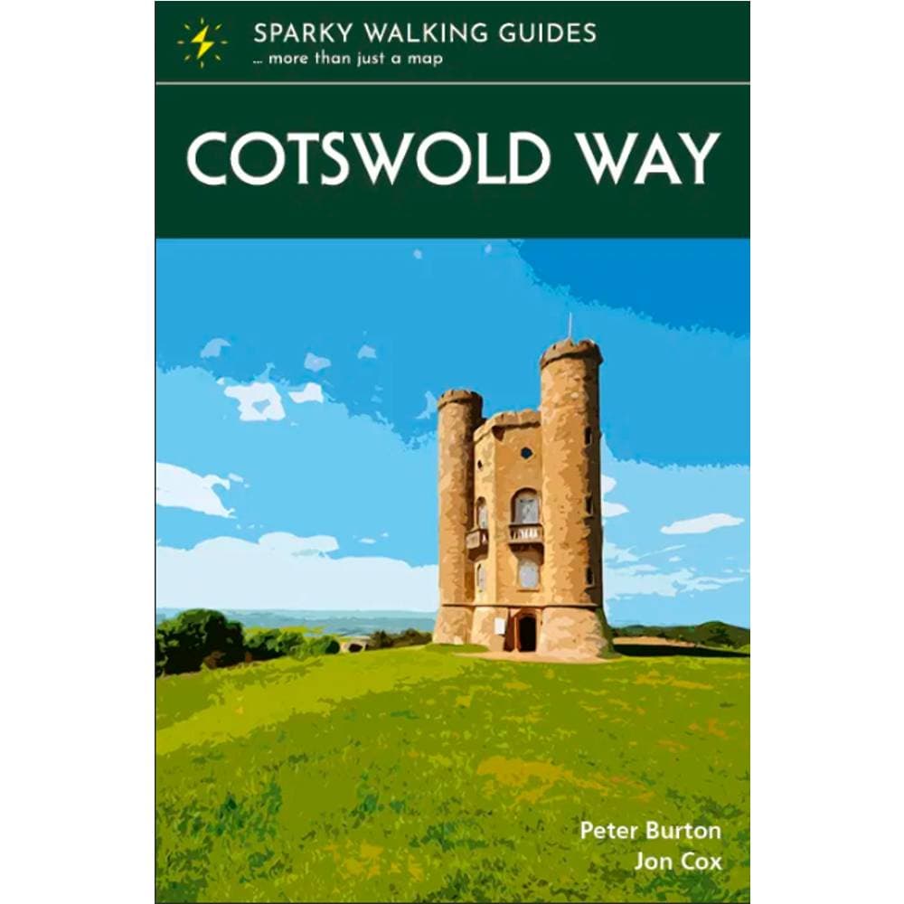
Sparky Walking Guides
The Trails Shop, 2024
A pocket-sized guide with 1:25,000 Ordnance Survey mapping on every page, plus local history, practical notes, accommodation ideas, and suggested stages. Slim enough to carry all day while keeping the trail and its stories close at hand.
Buy from The Trails Shop