A large Iron Age hillfort on a steep Cotswold plateau above Uley - rampart walks, Severn Vale views, and a short signed loop from Stage 10 of the Cotswold Way.
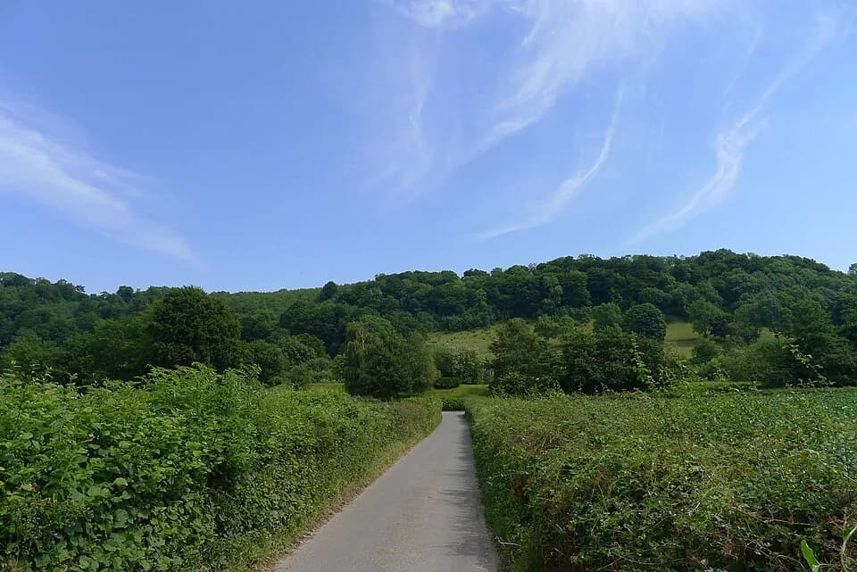
Uley Bury is a long, flat-topped scarp-edge hillfort just outside the village of Uley. The plateau rises around 230 metres (750 feet) above sea level, with very steep slopes on all sides and a narrow neck linking it to the main Cotswold escarpment. Multivallate ramparts and terraces enclose a large rectangular interior - one of the biggest hillforts in the Cotswolds - with entrances at the corners. Occupation is usually dated to the later Iron Age, around 300 BC, though flint finds show people used the summit much earlier.
The Cotswold Way passes the northern approach on Stage 10 between Coaley Peak, Cam Long Down, and Dursley. National Trail circulars and local paths climb onto the bury so you can walk the rampart circuit for compass-wide views across the Severn Vale, Owlpen valley, and the wooded hills toward Cam. The climb is short but steep in places, with steps on some approaches; paths can be muddy after rain.
There is no ticket or set opening hour - access is free open countryside on foot. Keep to signed paths, respect livestock and nesting birds, and leave archaeology undisturbed. A 1.5-mile National Trails loop is described on the Uley Bury Hillfort circular; longer hill-and-valley routes combine the bury with Cam Peak and Cam Long Down. Refreshments are in Uley village when pubs and shops are open - check locally before relying on them.