
Interview: Building the tools you find missing
| Cotswold Way Team

Ian Swallow co-runs Cotswold Way Guide with his wife Emily - an interactive planning tool for self-guided walkers on the National Trail from Chipping Campden to Bath. It brings itineraries, accommodation options, and GPS navigation into one workspace so people are not juggling guidebooks, booking sites, and map apps separately. The couple also built TMBTENT, their adventure travel business based in Boulder, Colorado. We asked Ian about the gap they saw on the trail, what the Planner actually does day to day, and why stays and GPS belong beside the route map.
Ian, what problem were you trying to solve when you built Cotswold Way Guide?
Planning a long-distance walk usually means juggling maps, guidebooks, accommodation lists, and route notes across half a dozen tabs. On the Cotswold Way that gets especially messy: stage distances vary more than people expect, overnight stops book up, and you still need a clear GPS route once you are on the trail. We wanted one place where a self-guided walker could build a personalised itinerary, see practical logistics, and leave with something they could actually navigate.
You and Emily run this together under TMBTENT. How did that background lead here?
Emily and I are outdoor lovers and trip-planning nerds. We live in Boulder, Colorado, and we have hiked across the UK, Europe, North America, and New Zealand. TMBTENT started after we walked the Tour du Mont Blanc and realised independent walkers were missing practical tools - not another glossy brochure, but something that helps you organise the trip yourself. Cotswold Way Guide applies that same idea to one of England's most iconic National Trails: empower people to plan their own walk with confidence.
What does the Planner actually give a walker that a guidebook alone does not?
The Planner is interactive. You explore the full route on a map, shape day-by-day stages to match your pace, and see distance and elevation as you adjust. You can compare options, keep the plan organised in one place, and treat it as a working itinerary rather than a static chapter list. Guidebooks are still excellent for narrative and local detail - we are not replacing them - but the Planner is built for the fiddly part: making the days fit together.
Live accommodation availability is a big part of the product. Why put that next to the map?
Because that is where plans fall apart. People draw a perfect stage on paper, then spend evenings clicking through websites trying to find a bed for those exact dates. Showing availability alongside the route helps you adjust stage lengths around what is actually open, instead of locking a schedule and discovering the gap later. You still book with the provider, but you start from a clearer picture.
How does navigation fit once the itinerary is set?
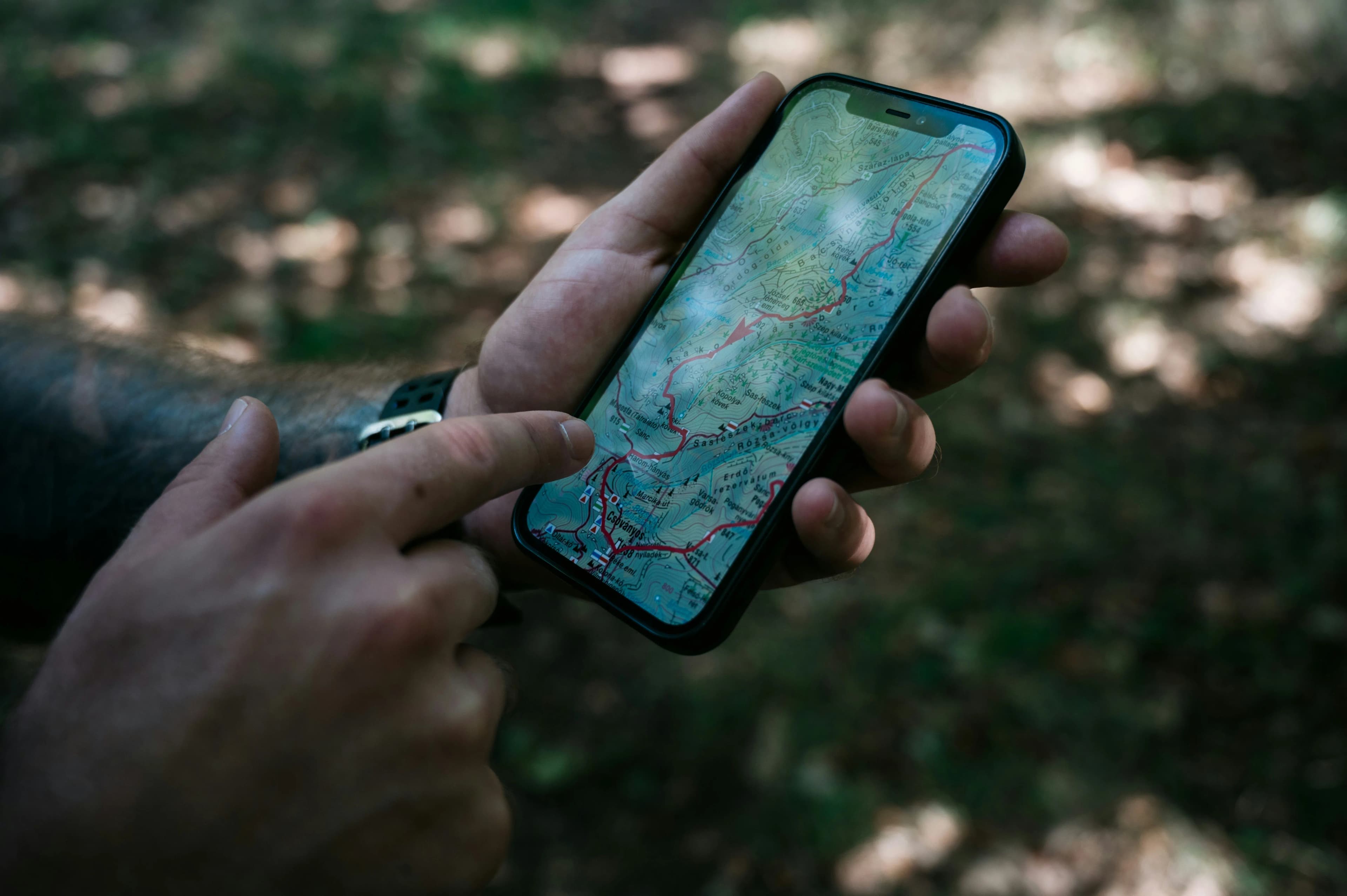
Once the plan is ready, walkers can sync it into our partner mobile app, HiiKER, for offline navigation on the trail. You can also export personalised GPX files for the exact route you built. That door-to-door line matters when villages, overnight stops, and daily distances are unique to your itinerary - a generic full-trail file is not always enough.
What would you tell someone planning their first Cotswold Way walk?
Decide your pace early, then let accommodation and elevation shape the days - not the other way round. The trail from Chipping Campden to Bath looks gentle on a brochure, but the escarpment still asks for climbs. Build a plan you can live with, check stays for your dates, and carry a navigation backup you trust. If you want everything in one workspace, that is exactly why we built the Guide.
What are you still trying to improve?
We keep refining the bits walkers find missing: clearer stage comparisons, better logistics at the edges of the day, and smoother hand-off from desk planning to phone navigation. The title of this piece is deliberate - we build the tools we kept wishing existed when we were the ones staring at maps and empty booking calendars.
If you want to know more about Ian, Emily, and their Cotswold Way Guide project - including the interactive Planner from TMBTENT - visit cotswoldwayguide.com.